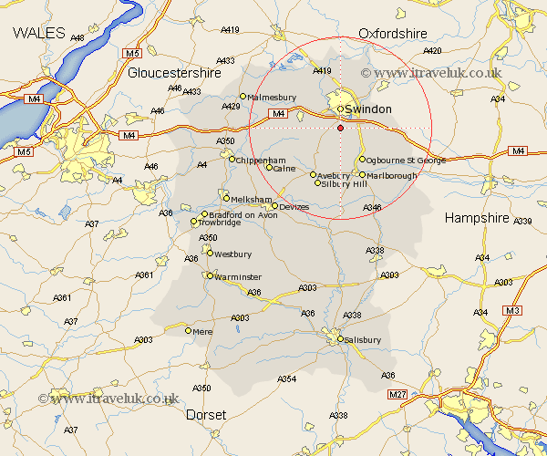
Wiltshire Map Showing Location of Wroughton
Population: 7120
Area Size (ha): 455
Easting: 415032 Northing: 179828
Latitude: 51.52 Longitude: -1.78
 = Wroughton
Area Size (ha): 455
Easting: 415032 Northing: 179828
Latitude: 51.52 Longitude: -1.78
= Wroughton
This Wroughton map below is supplied by Google. Use the tools in the top left corner to zoom into street level or zoom out for a road map, you may also need to zoom in to see Wroughton on the map. Click and drag the map to move around. If the map fails to load try and refresh your browser or zoom in or out (+ or -).
Update - it seems Google no longer allow people to use their maps for free! This Wroughton map sometimes loads and sometimes gives a error. I am working on a solution.
Closest 30 Towns or Cities to Wroughton (Population over 500)
Swindon 4.45km Chiseldon 4.97km Broad Hinton 5.08km Wanborough 6.05km Broad Town 6.86km Stratton St. Margaret 7.76km Stratton Saint Margaret 7.76km Stratton 7.76km Stratton St Margaret 7.76km Lydiard Millicent 8.01km Wooton Bassett 8.28km Wootton Bassett 8.28km Blunsdon Saint Andrew 9.33km Blunsdon St Andrew 9.33km Blunsdon 9.33km Blunsdon St. Andrew 9.33km Purton 9.38km Bishopstone 10.54km Marlborough 12.04km Highworth 12.52km Lyneham 12.69km Aldbourne 12.81km Baydon 13.22km Cricklade 13.76km Hillmarton 13.86km Hilmarton 13.86km Brinkworth 14.32km Ramsbury 15.72km Minety 16.01km Cherhill 16.03km