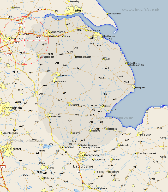
Lincolnshire Map Showing Location of Wroot
Population: 446
Easting: 470718 Northing: 402781
Latitude: 53.52 Longitude: -0.93
 = Wroot
Easting: 470718 Northing: 402781
Latitude: 53.52 Longitude: -0.93
= Wroot
This Wroot map below is supplied by Google. Use the tools in the top left corner to zoom into street level or zoom out for a road map, you may also need to zoom in to see Wroot on the map. Click and drag the map to move around. If the map fails to load try and refresh your browser or zoom in or out (+ or -).
Update - it seems Google no longer allow people to use their maps for free! This Wroot map sometimes loads and sometimes gives a error. I am working on a solution.
Closest 30 Towns or Cities to Wroot (Population over 500)
Haxey 7.59km Epworth 7.71km Belton 8.55km Owston 11.63km Owston Ferry 11.63km Crowle 12.05km West Butterwick 12.67km Burringham 13.33km Gunness 15.15km Gunhouse 15.15km Keadby 16.13km Morton 16.34km Blyton 17.08km Scotter 18.02km Gainesborough 18.49km Gainsborough 18.49km Messingham 18.82km Bottesford 19.09km Scotton 19.55km Flixborough 19.91km Scunthorpe 20.13km Lea 20.63km Burton 22.18km Burton upon Stather 22.18km Kirton in Lindsey 22.74km Kirton 22.74km Willingham 24.86km Marton 25.89km Broughton 25.93km Scawby 26.51km