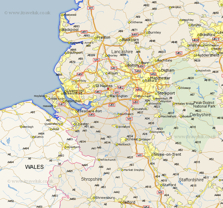
Cheshire Map Showing Location of Winwick
Population: 4366
Easting: 360142 Northing: 393142
Latitude: 53.43 Longitude: -2.6
 = Winwick
Easting: 360142 Northing: 393142
Latitude: 53.43 Longitude: -2.6
= Winwick
This Winwick map below is supplied by Google. Use the tools in the top left corner to zoom into street level or zoom out for a road map, you may also need to zoom in to see Winwick on the map. Click and drag the map to move around. If the map fails to load try and refresh your browser or zoom in or out (+ or -).
Update - it seems Google no longer allow people to use their maps for free! This Winwick map sometimes loads and sometimes gives a error. I am working on a solution.
Closest 30 Towns or Cities to Winwick (Population over 500)
Croft 3.31km Burtonwood 4.42km Warrington 5.56km Great Sankey 5.67km Sankey 5.67km Risley 5.82km Culcheth 5.82km Stockton Heath 7.78km Thelwall 7.84km Glazebrook 8.83km Appleton 9.84km Stretton 11.34km Partington 12.29km Widnes 12.81km Lymm 13.3km Preston on the Hill 13.38km Preston Brook 13.38km Preston-on-the-Hill 13.38km High Legh 13.59km Halton 14.56km Runcorn 14.92km Weston 15.69km Mere 16.48km Bowdon 17.15km Frodsham 17.26km Hale 17.31km Altrincham 17.48km Acton 18.52km Anderton 19.05km Kingsley 19.05km