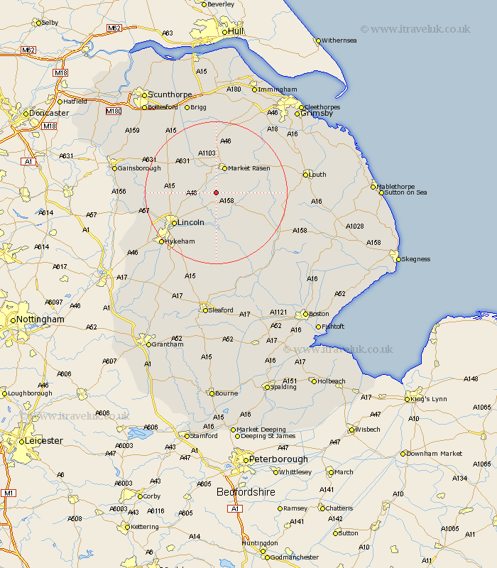
Lincolnshire Map Showing Location of Wickenby
Population: 217
District: West Lindsey
Easting: 508795 Northing: 381248
Latitude: 53.32 Longitude: -0.37
 = Wickenby
District: West Lindsey
Easting: 508795 Northing: 381248
Latitude: 53.32 Longitude: -0.37
= Wickenby
This Wickenby map below is supplied by Google. Use the tools in the top left corner to zoom into street level or zoom out for a road map, you may also need to zoom in to see Wickenby on the map. Click and drag the map to move around. If the map fails to load try and refresh your browser or zoom in or out (+ or -).
Update - it seems Google no longer allow people to use their maps for free! This Wickenby map sometimes loads and sometimes gives a error. I am working on a solution.
Closest 30 Towns or Cities to Wickenby (Population over 500)
Holton 2.89km Wragby 5.78km Scothern 6.67km Dunholme 6.9km Dunholm 6.9km Middle Rasen 7.4km Market Rasen 7.73km Sudbrooke 7.85km Welton 7.97km Nettleham 9.54km Cherry Willingham 9.99km Reepham 10.28km Fiskerton 10.28km Bardney 11.61km Washingborough 12.96km Scrampton 13.42km Scampton 13.42km Lincoln 14.45km Ingham 14.51km Heighington 14.58km Potter Hanworth 15.2km Branston 16.26km Nocton 17.01km South Kelsey 17.25km binbrook 17.78km Waddingham 17.85km Dunston 18.67km Caistor 18.82km Nettleton 18.82km North Kelsey 18.82km