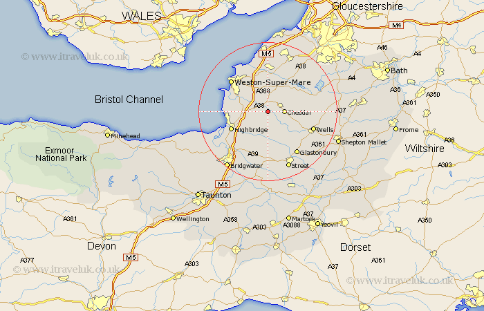
Somerset Map Showing Location of Weare
Population: 654
District: Sedgemoor
Easting: 341867 Northing: 152335
Latitude: 51.27 Longitude: -2.83
 = Weare
District: Sedgemoor
Easting: 341867 Northing: 152335
Latitude: 51.27 Longitude: -2.83
= Weare
This Weare map below is supplied by Google. Use the tools in the top left corner to zoom into street level or zoom out for a road map, you may also need to zoom in to see Weare on the map. Click and drag the map to move around. If the map fails to load try and refresh your browser or zoom in or out (+ or -).
Update - it seems Google no longer allow people to use their maps for free! This Weare map sometimes loads and sometimes gives a error. I am working on a solution.
Closest 30 Towns or Cities to Weare (Population over 500)
Axbridge 2.97km Shipham 4.37km Cheddar 4.64km Priddy 5km Wedmore 5.68km Banwell 6.02km Rodney Stoke 7.2km Mark 7.24km Sandford 7.41km Churchill 7.76km Locking 8.18km Lympsham 8.32km Hutton 8.9km Bleadon 8.92km Westbury 8.93km Brent Knoll 9.46km Blagdon 10.98km Congresbury 11.36km Meare 11.65km Highbridge 11.83km Wrington 12.05km Burnham on Sea 12.18km Burnham 12.18km Burnham-on-Sea 12.18km Berrow 12.76km Wookey 12.81km Huntspill 12.81km Brean 12.89km Yatton 13.02km Compton Martin 13.28km