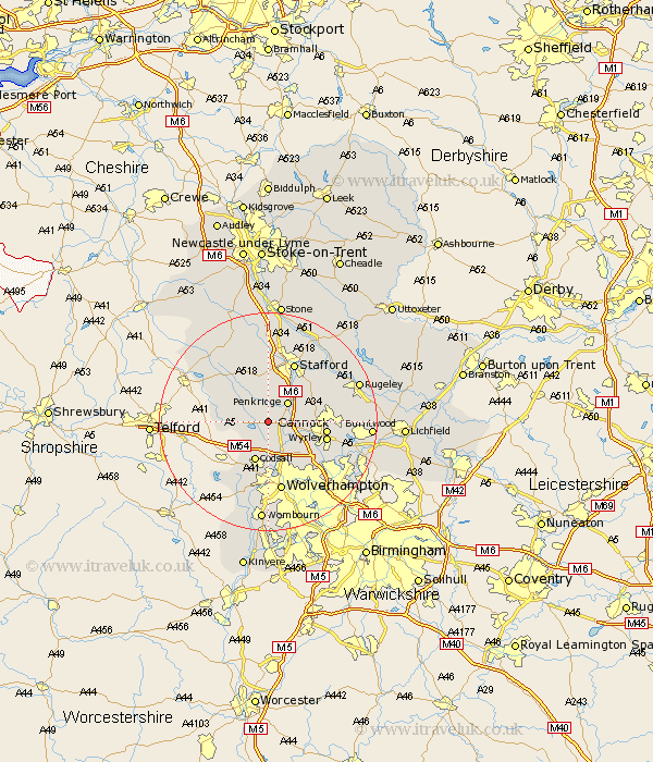
Staffordshire Map Showing Location of Stretton
District: South Staffordshire
Easting: 388738 Northing: 311420
Latitude: 52.7 Longitude: -2.17
 = Stretton
Easting: 388738 Northing: 311420
Latitude: 52.7 Longitude: -2.17
= Stretton
This Stretton map below is supplied by Google. Use the tools in the top left corner to zoom into street level or zoom out for a road map, you may also need to zoom in to see Stretton on the map. Click and drag the map to move around. If the map fails to load try and refresh your browser or zoom in or out (+ or -).
Update - it seems Google no longer allow people to use their maps for free! This Stretton map sometimes loads and sometimes gives a error. I am working on a solution.
Closest 30 Towns or Cities to Stretton (Population over 500)
Brewood 1.86km Wheaton Aston 3.85km Penkridge 5km Shareshill 6.73km Church Eaton 7.15km Codsall 7.75km Weston-under-Lizard 7.86km Weston under Lizard 7.86km Weston 7.86km Blymhill 8.08km Huntington 8.98km Haughton 9.53km Bednall 10.02km Cannock 10.28km Great Wyrley 10.67km Wyrley 10.67km Gnossall 10.83km Gnosall 10.83km Hednesford 11.23km Stafford 11.99km Seighford 13.03km Wolverhampton 13.17km Norton Canes 13.61km Pattingham 14.63km Lower Penn 14.99km Colwich 15.43km Hopton 15.49km Wallsall 15.81km Walsall 15.81km Scisdon 15.85km