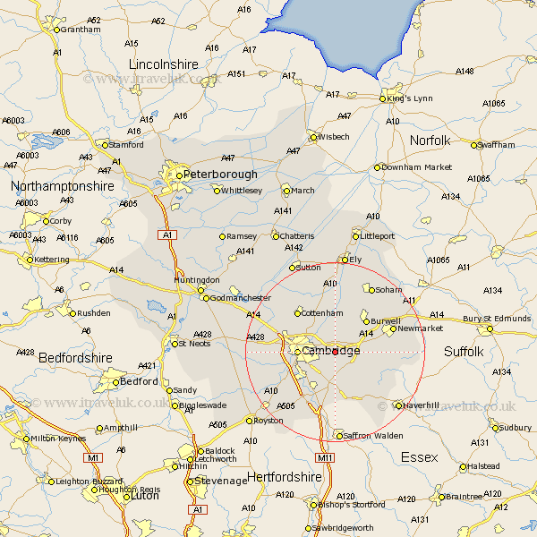
Cambridgeshire Map Showing Location of Stow Cum Quy
Population: 426
District: South Cambridgeshire
Easting: 552611 Northing: 258147
Latitude: 52.2 Longitude: 0.23
 = Stow Cum Quy
District: South Cambridgeshire
Easting: 552611 Northing: 258147
Latitude: 52.2 Longitude: 0.23
= Stow Cum Quy
This Stow Cum Quy map below is supplied by Google. Use the tools in the top left corner to zoom into street level or zoom out for a road map, you may also need to zoom in to see Stow Cum Quy on the map. Click and drag the map to move around. If the map fails to load try and refresh your browser or zoom in or out (+ or -).
Update - it seems Google no longer allow people to use their maps for free! This Stow Cum Quy map sometimes loads and sometimes gives a error. I am working on a solution.
Closest 30 Towns or Cities to Stow Cum Quy (Population over 500)
Fulbourn 2.18km Fulbourne 2.18km Great Wilbraham 2.18km Wilbraham 2.18km Bottisham 2.93km Teversham 3.41km Swaffham Bulbeck 5.03km Waterbeach 6.52km Milton 6.78km Swaffham Prior 7.18km Cambridge 7.95km Dullingham 9.09km Balsham 9.34km Burwell 10.07km Shelford 10.08km Sawston 10.32km Histon 10.65km Hauxton 10.66km Whittlesford 10.87km Girton 10.87km Linton 11.35km Stetchworth 11.36km Coton 11.36km Wicken 12.01km Cottenham 12.2km Harston 12.64km Oakington 13.56km Comberton 13.76km Dry Drayton 14.12km Duxford 14.16km