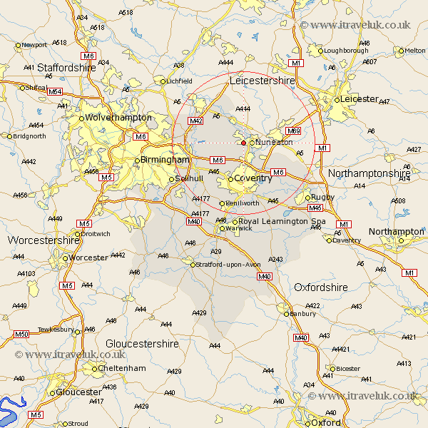
Warwickshire Map Showing Location of Stockingford
District: Nuneaton and Bedworth
Easting: 433925 Northing: 291137
Latitude: 52.52 Longitude: -1.5
 = Stockingford
Easting: 433925 Northing: 291137
Latitude: 52.52 Longitude: -1.5
= Stockingford
This Stockingford map below is supplied by Google. Use the tools in the top left corner to zoom into street level or zoom out for a road map, you may also need to zoom in to see Stockingford on the map. Click and drag the map to move around. If the map fails to load try and refresh your browser or zoom in or out (+ or -).
Update - it seems Google no longer allow people to use their maps for free! This Stockingford map sometimes loads and sometimes gives a error. I am working on a solution.
Closest 30 Towns or Cities to Stockingford (Population over 500)
Nuneaton 2.25km Mancetter 5.67km Arley 5.94km Bedworth 6km Atherstone 6.51km Fillongley 7.92km Bulkington 7.92km Corley 8.15km Shustoke 9.21km Keresley 9.54km Hurley 9.75km Wolvey 9.76km Shilton 10.04km Grendon 10.3km Nether Whitacre 10.31km Dordon 11.23km Orton-on-the-Hill 11.35km Orton on the Hill 11.35km Orton 11.35km Polesworth 11.47km Coventry 11.62km Allesley 11.62km Meriden 12.18km Kingsbury 12.94km Coleshill 13.66km Shuttington 15.17km Austrey 15.49km Berkeswell 15.81km Berkswell 15.81km Newton 15.86km