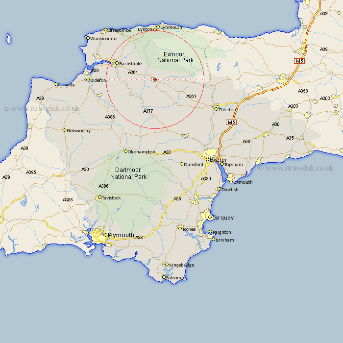
Devon Map Showing Location of South Molton
Population: 4029
Area Size (ha): 95
District: North Devon
Easting: 271419 Northing: 125806
Latitude: 51.02 Longitude: -3.83
 = South Molton
Area Size (ha): 95
District: North Devon
Easting: 271419 Northing: 125806
Latitude: 51.02 Longitude: -3.83
= South Molton
This South Molton map below is supplied by Google. Use the tools in the top left corner to zoom into street level or zoom out for a road map, you may also need to zoom in to see South Molton on the map. Click and drag the map to move around. If the map fails to load try and refresh your browser or zoom in or out (+ or -).
Update - it seems Google no longer allow people to use their maps for free! This South Molton map sometimes loads and sometimes gives a error. I am working on a solution.
Closest 30 Towns or Cities to South Molton (Population over 500)
North Molton 4.37km Chittlehampton 8.16km Swimbridge 10.03km Chulmleigh 11.36km Barrington 12.36km Burrington 12.36km High Bickington 12.92km Chawleigh 12.98km Bratton Fleming 13.79km Witheridge 13.8km Tawstock 15.6km Lapford 16.85km Barnstaple 16.86km Morchard Bishop 19.43km Dolton 20.4km Fremington 20.58km Marwood 20.71km Lynton 22.24km Linton 22.24km Torrington 23.38km Great Torrington 23.38km Instow 23.6km Cheriton Fitzpaine 23.96km Nymet Tracey 24.12km Bow 24.12km North Tawton 24.54km Combe Martin 24.71km Bampton 24.77km Copplestone 24.79km Sandford 25.12km