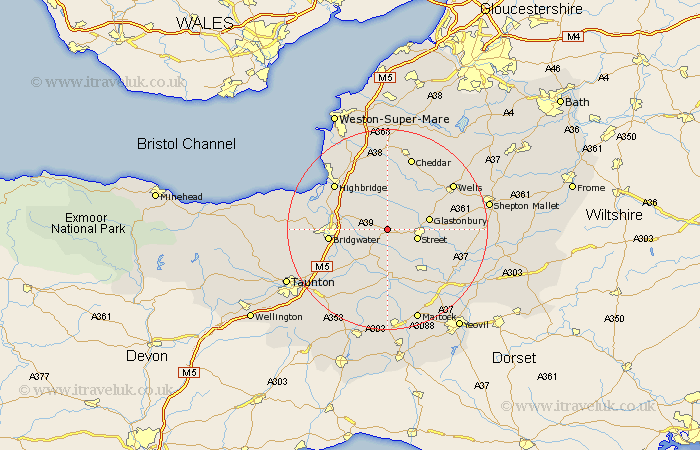
Somerset Map Showing Location of Shapwick
Population: 509
District: Sedgemoor
Easting: 341699 Northing: 137502
Latitude: 51.13 Longitude: -2.83
 = Shapwick
District: Sedgemoor
Easting: 341699 Northing: 137502
Latitude: 51.13 Longitude: -2.83
= Shapwick
This Shapwick map below is supplied by Google. Use the tools in the top left corner to zoom into street level or zoom out for a road map, you may also need to zoom in to see Shapwick on the map. Click and drag the map to move around. If the map fails to load try and refresh your browser or zoom in or out (+ or -).
Update - it seems Google no longer allow people to use their maps for free! This Shapwick map sometimes loads and sometimes gives a error. I am working on a solution.
Closest 30 Towns or Cities to Shapwick (Population over 500)
Ashcott 2.33km Walton 5km Meare 5.09km Middlezoy 5.95km Street 6.1km Cossington 6.1km Othery 6.57km Weston Zoyland 7.22km High Ham 7.5km Glastonbury 8.44km Compton 8.94km Wedmore 9.35km Puriton 10.01km Mark 10.37km Somerton 10.94km Butleigh 11.11km Langport 11.12km Bridgwater 11.78km Bridgewater 11.78km Huntspill 12.82km Wookey 12.82km Pawlett 12.88km West Pennard 12.92km Baltonsborough 12.93km Stoke St Gregory 13.13km Stoke Saint Gregory 13.13km Stoke St. Gregory 13.13km Barton St David 13.32km Barton St. David 13.32km Barton Saint David 13.32km