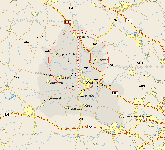
Oxfordshire Map Showing Location of Rousham
Population: 50
District: West Oxfordshire
Easting: 447010 Northing: 222653
Latitude: 51.9 Longitude: -1.32
 = Rousham
District: West Oxfordshire
Easting: 447010 Northing: 222653
Latitude: 51.9 Longitude: -1.32
= Rousham
This Rousham map below is supplied by Google. Use the tools in the top left corner to zoom into street level or zoom out for a road map, you may also need to zoom in to see Rousham on the map. Click and drag the map to move around. If the map fails to load try and refresh your browser or zoom in or out (+ or -).
Update - it seems Google no longer allow people to use their maps for free! This Rousham map sometimes loads and sometimes gives a error. I am working on a solution.
Closest 30 Towns or Cities to Rousham (Population over 500)
Steeple Aston 2.18km Tackley 3.7km Duns Tew 3.87km Kirtlington 5.05km Upper Heyford 5.05km Woodstock 5.56km Bletchingdon 6.53km Ardley 7.79km Fritwell 7.97km Deddington 9.26km Enstone 9.33km Chesterton 9.34km Bladon 9.54km Kidlington 9.54km Barford St John 9.88km Barford 9.88km Barford Saint John 9.88km Barford St. John 9.88km Islip 10.89km Stonesfield 10.92km Caversfield 10.94km Charlbury 10.94km Adderbury 11.12km Yarnton 11.18km Bicester 11.44km Bloxham 11.64km Church Handborough 12.03km Hanborough 12.03km Cassington 13.18km North Leigh 13.71km