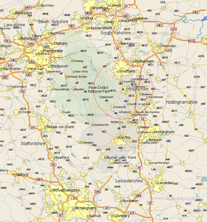
Derbyshire Map Showing Location of Newbold
District: Chesterfield
Easting: 436693 Northing: 372726
Latitude: 53.25 Longitude: -1.45
 = Newbold
Easting: 436693 Northing: 372726
Latitude: 53.25 Longitude: -1.45
= Newbold
This Newbold map below is supplied by Google. Use the tools in the top left corner to zoom into street level or zoom out for a road map, you may also need to zoom in to see Newbold on the map. Click and drag the map to move around. If the map fails to load try and refresh your browser or zoom in or out (+ or -).
Update - it seems Google no longer allow people to use their maps for free! This Newbold map sometimes loads and sometimes gives a error. I am working on a solution.
Closest 30 Towns or Cities to Newbold (Population over 500)
Chesterfield 2.22km Barlow 2.89km Brimington 3.33km Old Brampton 3.81km Brampton 3.81km Unstone 3.86km Walton 3.87km Dronfield 5.67km Wingerworth 5.67km Holmesfield 5.78km Staveley 6.91km Eckington 7.85km Mosbrough 9.26km Mosborough 9.26km Ashover 9.53km Heath 9.55km North Wingfield 11.22km Baslow 11.24km Clay Cross 11.34km Killamarsh 11.56km Barlborough 11.69km Bolsover 11.69km Pilsley 12.43km Ault Hucknall 12.44km Grindleford Bridge 12.74km Grindleford 12.74km Stretton 13.17km Elmton 13.31km Clowne 13.43km Stony Middleton 13.43km