Derbyshire Map Showing Location of Mickleover
Easting: 431387 Northing: 333755
Latitude: 52.9 Longitude: -1.53
 = Mickleover
Latitude: 52.9 Longitude: -1.53
= Mickleover
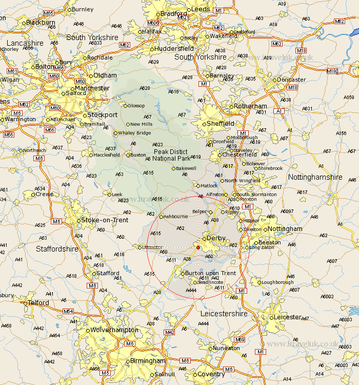
This Mickleover map below is supplied by Google. Use the tools in the top left corner to zoom into street level or zoom out for a road map, you may also need to zoom in to see Mickleover on the map. Click and drag the map to move around. If the map fails to load try and refresh your browser or zoom in or out (+ or -).
Update - it seems Google no longer allow people to use their maps for free! This Mickleover map sometimes loads and sometimes gives a error. I am working on a solution.
Closest 30 Towns or Cities to Mickleover (Population over 500)
Burnaston 2.9km Derby 4.33km Kirk Langley 4.33km Findern 5.56km Etwall 5.81km Quarndon 5.99km Breadsall 6.7km Willington 7.5km Repton 7.5km Little Eaton 7.88km Brailsford 7.88km Duffield 8.14km Egginton 8.66km Newton Solney 9.85km Borrowash 10.06km Church Broughton 11.33km Melbourne 11.44km Ticknall 11.62km Weston-on-Trent 11.62km Weston upon Trent 11.62km Weston on Trent 11.62km Holbrook 11.98km Burton upon Trent 12.45km Burton on Trent 12.45km Burton-on-Trent 12.45km Dale Abbey 12.84km Kilbourn 12.98km Kilburn 12.98km Kilbourne 12.98km Bretby 13.4km