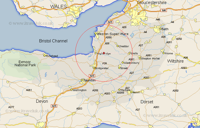
Somerset Map Showing Location of Mark
Population: 1394
District: Sedgemoor
Easting: 337148 Northing: 146831
Latitude: 51.22 Longitude: -2.9
 = Mark
District: Sedgemoor
Easting: 337148 Northing: 146831
Latitude: 51.22 Longitude: -2.9
= Mark
This Mark map below is supplied by Google. Use the tools in the top left corner to zoom into street level or zoom out for a road map, you may also need to zoom in to see Mark on the map. Click and drag the map to move around. If the map fails to load try and refresh your browser or zoom in or out (+ or -).
Update - it seems Google no longer allow people to use their maps for free! This Mark map sometimes loads and sometimes gives a error. I am working on a solution.
Closest 30 Towns or Cities to Mark (Population over 500)
Wedmore 5.8km Highbridge 5.8km Brent Knoll 5.94km Huntspill 6.09km Burnham-on-Sea 7.2km Burnham 7.2km Burnham on Sea 7.2km Weare 7.24km Puriton 7.25km Cossington 7.51km Pawlett 7.9km Lympsham 8.18km Berrow 9.84km Meare 9.85km Bleadon 9.89km Priddy 9.99km Axbridge 10.16km Shapwick 10.37km Cheddar 10.82km Brean 10.99km Hutton 11.36km Banwell 11.36km Weston Zoyland 11.36km Shipham 11.59km Ashcott 11.6km Rodney Stoke 12.18km Westbury 12.9km Middlezoy 12.98km Locking 13.02km Bridgwater 13.13km