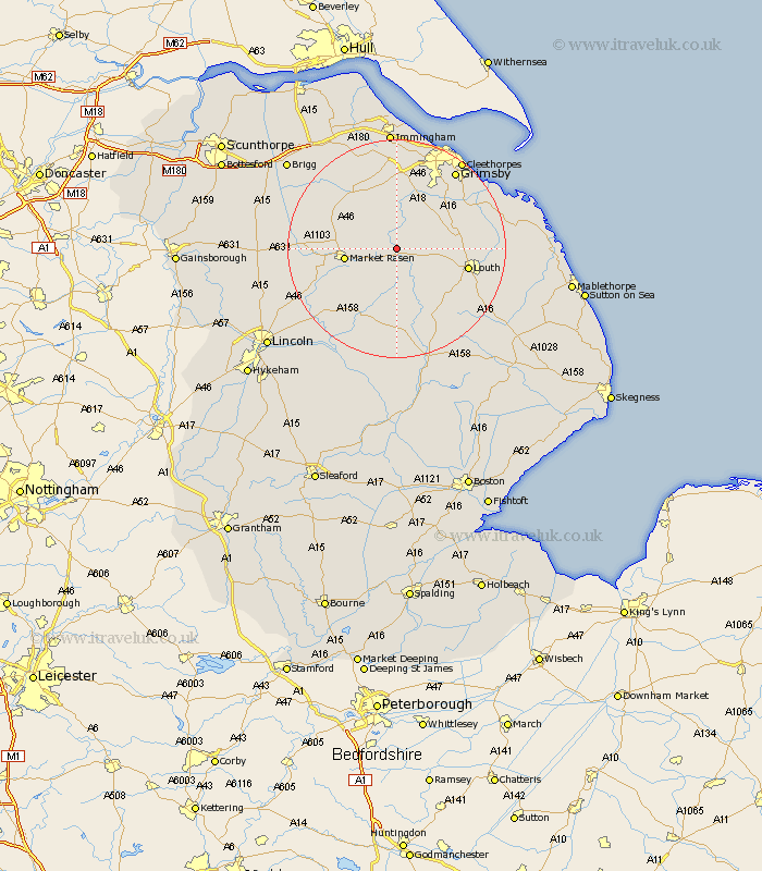
Lincolnshire Map Showing Location of Ludford
Population: 435
District: East Lindsey
Easting: 519662 Northing: 390779
Latitude: 53.4 Longitude: -0.2
 = Ludford
District: East Lindsey
Easting: 519662 Northing: 390779
Latitude: 53.4 Longitude: -0.2
= Ludford
This Ludford map below is supplied by Google. Use the tools in the top left corner to zoom into street level or zoom out for a road map, you may also need to zoom in to see Ludford on the map. Click and drag the map to move around. If the map fails to load try and refresh your browser or zoom in or out (+ or -).
Update - it seems Google no longer allow people to use their maps for free! This Ludford map sometimes loads and sometimes gives a error. I am working on a solution.
Closest 30 Towns or Cities to Ludford (Population over 500)
binbrook 3.86km Market Rasen 9.03km Middle Rasen 11.21km Nettleton 12.06km Caistor 12.06km North Thoresby 12.4km Louth 12.71km Fulstow 13.36km Holton 14.21km Waltham 14.57km Wragby 14.58km Laceby 14.99km Tetney 15.27km Holton le Clay 15.69km North Kelsey 17.08km North Coates 17.14km South Kelsey 17.14km Grimsby 17.84km Great Grimsby 17.84km Legbourne 18.17km Humberston 18.48km Humberstone 18.48km South Killingholme 18.67km Healing 18.67km Keelby 18.83km Grimoldby 19.15km Cleethorpes 20km Great Coates 20.08km Grainthorpe 20.18km Manby 20.24km