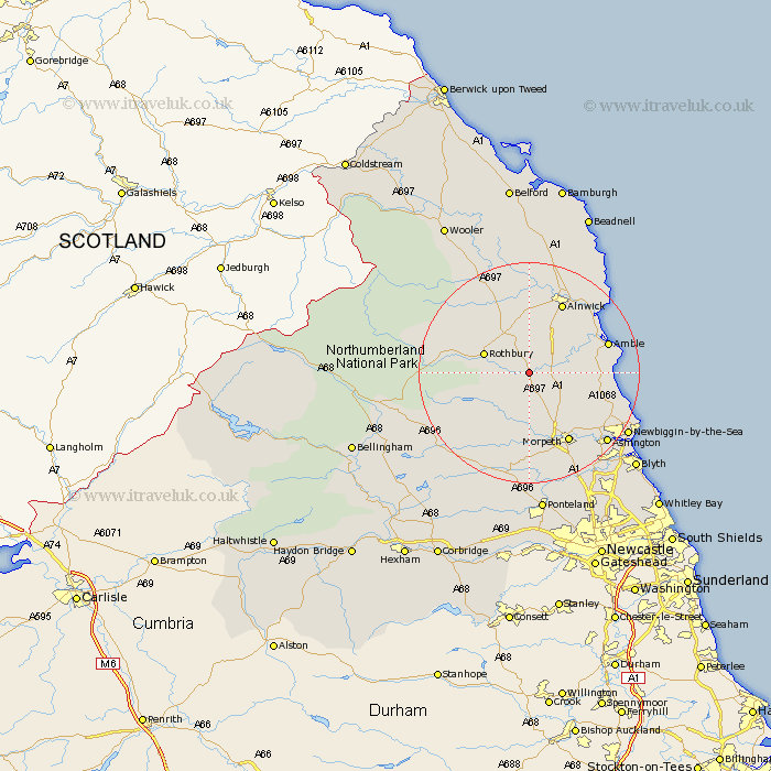
Northumberland Map Showing Location of Longframlington
Population: 979
District: Alnwick
Easting: 413760 Northing: 598822
Latitude: 55.28 Longitude: -1.78
 = Longframlington
District: Alnwick
Easting: 413760 Northing: 598822
Latitude: 55.28 Longitude: -1.78
= Longframlington
This Longframlington map below is supplied by Google. Use the tools in the top left corner to zoom into street level or zoom out for a road map, you may also need to zoom in to see Longframlington on the map. Click and drag the map to move around. If the map fails to load try and refresh your browser or zoom in or out (+ or -).
Update - it seems Google no longer allow people to use their maps for free! This Longframlington map sometimes loads and sometimes gives a error. I am working on a solution.
Closest 30 Towns or Cities to Longframlington (Population over 500)
Longframlington 0km Swarland 3.67km Felton 5.28km Longhorsley 5.66km East Thirston 6.33km Thirston 6.33km Rothbury 8.27km Shilbottle 11.23km East Chevington 12.67km Hebron 12.8km Warkworth 12.89km Amble 13.82km Almwick 14.01km Alnwick 14.01km Morpeth 14.43km Lisburg 15.32km Lesbury 15.32km Ellington 15.6km Pegswood 16.08km Hepscott 17.07km Lynemouth 17.15km Alnmouth 17.4km Ashington 18.23km Newbiggin-by-the-Sea 19.78km Newbiggin by the Sea 19.78km Bedlington 20.94km Stannington 21.69km Embleton 24.6km Blyth 24.88km Blythe 24.88km