Derbyshire Map Showing Location of Littleover
Easting: 432508 Northing: 333762
Latitude: 52.9 Longitude: -1.52
 = Littleover
Latitude: 52.9 Longitude: -1.52
= Littleover
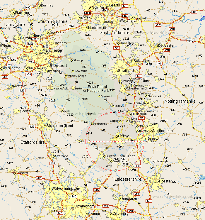
This Littleover map below is supplied by Google. Use the tools in the top left corner to zoom into street level or zoom out for a road map, you may also need to zoom in to see Littleover on the map. Click and drag the map to move around. If the map fails to load try and refresh your browser or zoom in or out (+ or -).
Update - it seems Google no longer allow people to use their maps for free! This Littleover map sometimes loads and sometimes gives a error. I am working on a solution.
Closest 30 Towns or Cities to Littleover (Population over 500)
Burnaston 3.83km Derby 3.87km Kirk Langley 5km Quarndon 5.67km Findern 5.67km Breadsall 5.8km Etwall 6.71km Little Eaton 7.13km Duffield 7.75km Repton 7.75km Willington 7.75km Brailsford 8.71km Borrowash 8.94km Egginton 9.29km Newton Solney 10.29km Weston upon Trent 10.79km Weston-on-Trent 10.79km Weston on Trent 10.79km Melbourne 10.82km Ticknall 11.34km Holbrook 11.61km Dale Abbey 11.77km Church Broughton 12.44km Kilbourne 12.44km Kilburn 12.44km Kilbourn 12.44km West Hallam 12.48km Shardlow 12.49km Smalley 12.87km Burton-on-Trent 12.99km