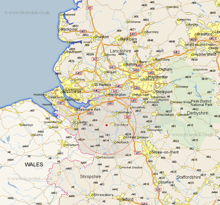
Cheshire Map Showing Location of Little Budworth
Population: 649
District: Vale Royal
Easting: 359908 Northing: 365333
Latitude: 53.18 Longitude: -2.6
 = Little Budworth
District: Vale Royal
Easting: 359908 Northing: 365333
Latitude: 53.18 Longitude: -2.6
= Little Budworth
This Little Budworth map below is supplied by Google. Use the tools in the top left corner to zoom into street level or zoom out for a road map, you may also need to zoom in to see Little Budworth on the map. Click and drag the map to move around. If the map fails to load try and refresh your browser or zoom in or out (+ or -).
Update - it seems Google no longer allow people to use their maps for free! This Little Budworth map sometimes loads and sometimes gives a error. I am working on a solution.
Closest 30 Towns or Cities to Little Budworth (Population over 500)
Whitegate 4.99km Winsford 5.55km Cuddington 5.56km Tarporley 5.78km Delamere 5.79km Hartford 6.48km Kelshall Hill 6.68km Kelsall 6.68km Kelsall Hill 6.68km Weaverham 7.5km Davenham 7.85km Bunbury 8.12km Acton 9.27km Ashton 9.63km Kingsley 10.28km Anderton 10.28km Middlewick 11.11km Middlewich 11.11km Tarvin 11.26km Marston 11.42km Northwick 11.42km Northwich 11.42km Lostock Gralam 12.84km Tattenhall 13.36km Great Barrow 13.45km Barrow 13.45km Waverton 13.46km Nantwich 14.11km Wistaston 14.24km Helsby 14.46km