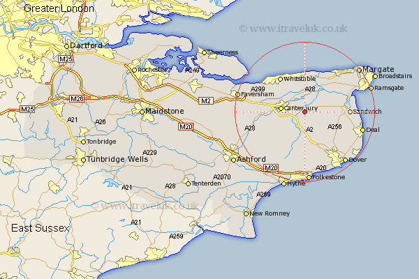
Kent Map Showing Location of Littlebourne
Population: 1454
District: Canterbury
Easting: 620882 Northing: 156769
Latitude: 51.27 Longitude: 1.17
 = Littlebourne
District: Canterbury
Easting: 620882 Northing: 156769
Latitude: 51.27 Longitude: 1.17
= Littlebourne
This Littlebourne map below is supplied by Google. Use the tools in the top left corner to zoom into street level or zoom out for a road map, you may also need to zoom in to see Littlebourne on the map. Click and drag the map to move around. If the map fails to load try and refresh your browser or zoom in or out (+ or -).
Update - it seems Google no longer allow people to use their maps for free! This Littlebourne map sometimes loads and sometimes gives a error. I am working on a solution.
Closest 30 Towns or Cities to Littlebourne (Population over 500)
Wingham 3.48km Sturry 3.94km Bridge 5.09km Preston 5.93km Hackington 6.08km Staple 6.09km Canterbury 6.59km Hoath 7.41km Chislet 7.76km Lower Hardres 7.89km Blean 8.92km Harbledown 9.46km Broomfield 9.49km Petham 9.84km Eastry 9.99km Shepherdswell 10.37km Sibertswold 10.37km Chartham 10.6km St. Nicholas at Wade 10.92km St Nicholas at Wade 10.92km Saint Nicholas at Wade 10.92km Monkton 10.98km Herne Bay 11.36km Chestfield 11.58km Stelling 11.6km Minster 11.82km Whitstable 12.24km Eythorne 12.33km Coldred 12.54km Sandwich 12.75km