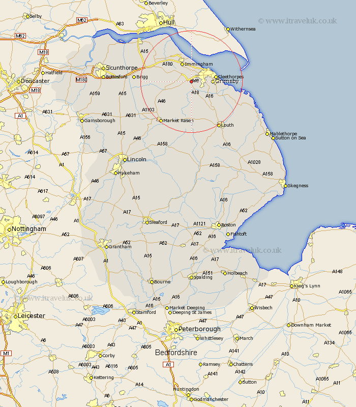
Lincolnshire Map Showing Location of Laceby
Population: 2602
Area Size (ha): 94
Easting: 521496 Northing: 405662
Latitude: 53.53 Longitude: -0.17
 = Laceby
Area Size (ha): 94
Easting: 521496 Northing: 405662
Latitude: 53.53 Longitude: -0.17
= Laceby
This Laceby map below is supplied by Google. Use the tools in the top left corner to zoom into street level or zoom out for a road map, you may also need to zoom in to see Laceby on the map. Click and drag the map to move around. If the map fails to load try and refresh your browser or zoom in or out (+ or -).
Update - it seems Google no longer allow people to use their maps for free! This Laceby map sometimes loads and sometimes gives a error. I am working on a solution.
Closest 30 Towns or Cities to Laceby (Population over 500)
Healing 3.71km Waltham 4.78km Stallingborough 5.67km South Killingholme 5.76km Keelby 6.64km Great Coates 6.64km Holton le Clay 6.86km Great Grimsby 7.71km Grimsby 7.71km Immingham 8.12km Humberstone 8.81km Humberston 8.81km Cleethorpes 9km Habrough 9.24km North Thoresby 10.69km binbrook 11.17km Nettleton 11.37km Caistor 11.37km Tetney 11.37km Fulstow 13.57km Ulceby 14.39km North Coates 15.16km Barnetby le Wold 15.86km Barnetby 15.86km East Halton 16.71km North Kelsey 17.44km Grainthorpe 18.12km Goxhill 18.47km South Kelsey 19.13km Market Rasen 20km