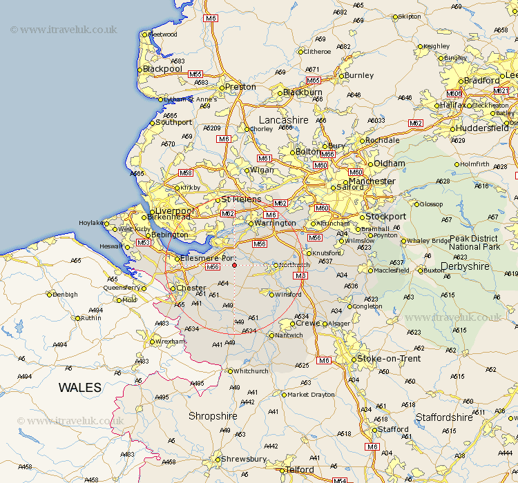
Cheshire Map Showing Location of Kingsley
Population: 2026
District: Vale Royal
Easting: 355540 Northing: 374649
Latitude: 53.27 Longitude: -2.67
 = Kingsley
District: Vale Royal
Easting: 355540 Northing: 374649
Latitude: 53.27 Longitude: -2.67
= Kingsley
This Kingsley map below is supplied by Google. Use the tools in the top left corner to zoom into street level or zoom out for a road map, you may also need to zoom in to see Kingsley on the map. Click and drag the map to move around. If the map fails to load try and refresh your browser or zoom in or out (+ or -).
Update - it seems Google no longer allow people to use their maps for free! This Kingsley map sometimes loads and sometimes gives a error. I am working on a solution.
Closest 30 Towns or Cities to Kingsley (Population over 500)
Acton 4.43km Delamere 5.56km Kelsall 5.67km Kelshall Hill 5.67km Kelsall Hill 5.67km Preston Brook 5.67km Preston on the Hill 5.67km Preston-on-the-Hill 5.67km Frodsham 5.78km Cuddington 5.78km Weaverham 5.85km Halton 5.98km Helsby 6.65km Weston 7.11km Ashton 7.11km Hartford 8.6km Anderton 8.87km Dunham on the Hill 9.06km Dunham 9.06km Dunham-on-the-Hill 9.06km Runcorn 9.25km Whitegate 9.55km Stretton 9.95km Tarvin 9.97km Elton 10.15km Widnes 10.27km Little Budworth 10.28km Davenham 10.65km Northwich 11.08km Marston 11.08km