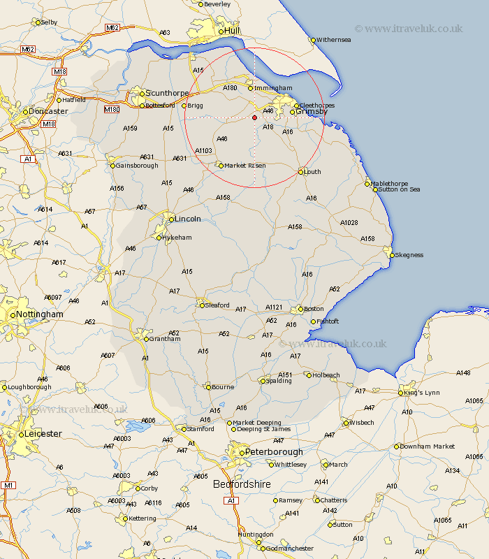
Lincolnshire Map Showing Location of Irby
Population: 124
Easting: 519334 Northing: 403759
Latitude: 53.52 Longitude: -0.2
 = Irby
Easting: 519334 Northing: 403759
Latitude: 53.52 Longitude: -0.2
= Irby
This Irby map below is supplied by Google. Use the tools in the top left corner to zoom into street level or zoom out for a road map, you may also need to zoom in to see Irby on the map. Click and drag the map to move around. If the map fails to load try and refresh your browser or zoom in or out (+ or -).
Update - it seems Google no longer allow people to use their maps for free! This Irby map sometimes loads and sometimes gives a error. I am working on a solution.
Closest 30 Towns or Cities to Irby (Population over 500)
Laceby 2.87km South Killingholme 5.98km Healing 5.98km Keelby 6.47km Waltham 6.61km Stallingborough 7.49km Nettleton 8.56km Caistor 8.56km Holton le Clay 8.81km Immingham 9.33km binbrook 9.34km Great Coates 9.5km Habrough 9.83km Grimsby 10.09km Great Grimsby 10.09km Humberston 11.17km Humberstone 11.17km North Thoresby 11.37km Cleethorpes 11.62km Tetney 12.68km Ulceby 14.18km Fulstow 14.22km Barnetby le Wold 14.34km Barnetby 14.34km North Kelsey 14.8km North Coates 16.41km South Kelsey 16.41km Market Rasen 17.26km East Halton 17.56km Wrawby 18.48km