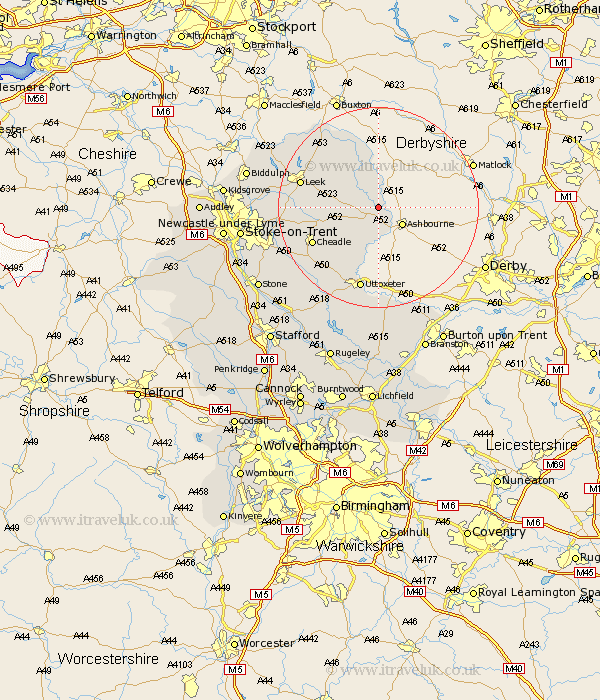
Staffordshire Map Showing Location of Ilam
Population: 126
District: Staffordshire Moorlands
Easting: 413405 Northing: 350356
Latitude: 53.05 Longitude: -1.8
 = Ilam
District: Staffordshire Moorlands
Easting: 413405 Northing: 350356
Latitude: 53.05 Longitude: -1.8
= Ilam
This Ilam map below is supplied by Google. Use the tools in the top left corner to zoom into street level or zoom out for a road map, you may also need to zoom in to see Ilam on the map. Click and drag the map to move around. If the map fails to load try and refresh your browser or zoom in or out (+ or -).
Update - it seems Google no longer allow people to use their maps for free! This Ilam map sometimes loads and sometimes gives a error. I am working on a solution.
Closest 30 Towns or Cities to Ilam (Population over 500)
Waterhouses 4.83km Mayfield 5.99km Oakamoor 9.58km Denston 9.85km Denstone 9.85km Alton 10.81km Ipstones 11.3km Rocester 11.34km Kingsley 12.81km Cheadle 14.33km Leek 15.51km Cheddleton 15.6km Checkley 16.41km Uttoxeter 17.01km Draycott in the Moors 18.15km Draycott 18.15km Church Leigh 18.55km Leigh 18.55km Caverswall 19.32km Horton 20.33km Marchington 20.38km Fulford 21.03km Endon 21.48km Tutbury 23.57km Hatton 23.6km Hilderstone 24.07km Hanbury 24.51km Biddulph 25.59km Rolleston 26.11km Stoke 26.23km