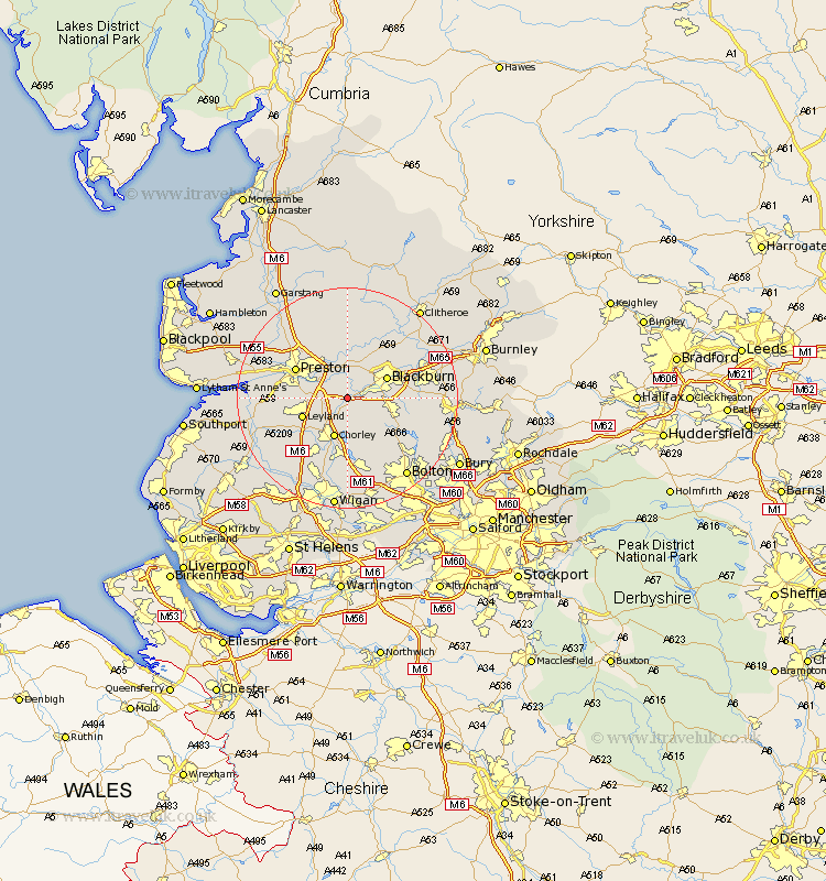
Lancashire Map Showing Location of Hoghton
Population: 867
District: Chorley
Easting: 361507 Northing: 424659
Latitude: 53.72 Longitude: -2.58
 = Hoghton
District: Chorley
Easting: 361507 Northing: 424659
Latitude: 53.72 Longitude: -2.58
= Hoghton
This Hoghton map below is supplied by Google. Use the tools in the top left corner to zoom into street level or zoom out for a road map, you may also need to zoom in to see Hoghton on the map. Click and drag the map to move around. If the map fails to load try and refresh your browser or zoom in or out (+ or -).
Update - it seems Google no longer allow people to use their maps for free! This Hoghton map sometimes loads and sometimes gives a error. I am working on a solution.
Closest 30 Towns or Cities to Hoghton (Population over 500)
Hoghton 0km Withnell 2.87km Brinscall 3.87km Samlesbury 5.98km Heapey 5.98km Mellor 6.46km Blackburn 7.55km Farington 7.68km Farrington 7.68km Chorley 7.74km Darwen 7.9km Leyland 8.53km Euxton 9.23km Grimsargh 9.83km Ribchester 9.83km Wilpshire 9.9km Preston 10.38km Penwortham 10.54km Rishton 11.57km Coppull 11.96km Oswaldtwistle 12.2km Hutton 12.2km Penrith 12.35km Goosnargh 12.39km Langho 12.75km Eccleston 12.77km Longridge 12.97km Haigh 12.98km Adlington 13.02km Horwich 13.16km