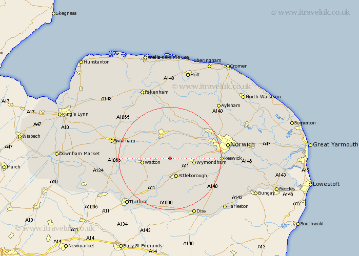
Norfolk Map Showing Location of Hingham
Population: 1965
Area Size (ha): 68
District: South Norfolk
Easting: 602091 Northing: 302607
Latitude: 52.58 Longitude: 0.98
 = Hingham
Area Size (ha): 68
District: South Norfolk
Easting: 602091 Northing: 302607
Latitude: 52.58 Longitude: 0.98
= Hingham
This Hingham map below is supplied by Google. Use the tools in the top left corner to zoom into street level or zoom out for a road map, you may also need to zoom in to see Hingham on the map. Click and drag the map to move around. If the map fails to load try and refresh your browser or zoom in or out (+ or -).
Update - it seems Google no longer allow people to use their maps for free! This Hingham map sometimes loads and sometimes gives a error. I am working on a solution.
Closest 30 Towns or Cities to Hingham (Population over 500)
Great Ellingham 5.67km Shipdham 6.74km Carbrooke 6.76km Carbooke 6.76km Rockland St Peter 7.16km Rockland 7.16km Rockland St. Peter 7.16km Rockland Saint Peter 7.16km Yaxham 7.5km Attleborough 7.74km Besthorpe 8.14km Mattishall 8.15km Griston 8.71km Wymondham 9.2km Watton 10.3km Hockering 10.85km Hockham 11.47km Dereham 11.62km East Dereham 11.62km Old Buckenham 12km Ashill 12.52km Hethersett 13.64km Ashwellthorpe 14.62km Quidenham 14.82km Bunwell 15.05km Banham 15.2km Necton 15.41km Beetley 15.5km Lyng 15.86km Taverham 16.38km