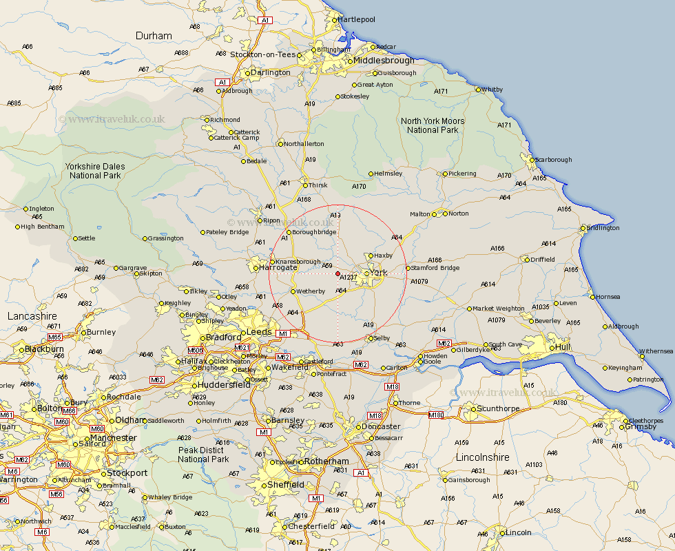
Yorkshire Map Showing Location of Hessay
Population: 181
Easting: 452475 Northing: 452609
Latitude: 53.97 Longitude: -1.2
 = Hessay
Easting: 452475 Northing: 452609
Latitude: 53.97 Longitude: -1.2
= Hessay
This Hessay map below is supplied by Google. Use the tools in the top left corner to zoom into street level or zoom out for a road map, you may also need to zoom in to see Hessay on the map. Click and drag the map to move around. If the map fails to load try and refresh your browser or zoom in or out (+ or -).
Update - it seems Google no longer allow people to use their maps for free! This Hessay map sometimes loads and sometimes gives a error. I am working on a solution.
Closest 30 Towns or Cities to Hessay (Population over 500)
Rufforth 1.86km Long Marston 2.86km Poppleton 3.27km Upper Poppleton 3.27km Skelton 5.72km Clifton 6.54km Hammerton 6.79km Kirk Hammerton 6.79km Copmanthorpe 7.07km Newton upon Ouse 7.49km Newton 7.49km Green Hammerton 7.51km Bishopthorpe 7.52km Bishopthorne 7.52km York 7.63km Linton 8.09km Linton on Ouse 8.09km Linton upon Ouse 8.09km Linton-on-Ouse 8.09km Shipton 8.09km New Earswick 8.91km Whixley 9.44km Acaster Malbis 9.89km Tadcaster 10.25km Haxby 10.34km Wigginton 10.34km Thorpe Arch 10.35km Thorp Arch 10.35km Earswick 10.48km Huntington 10.48km