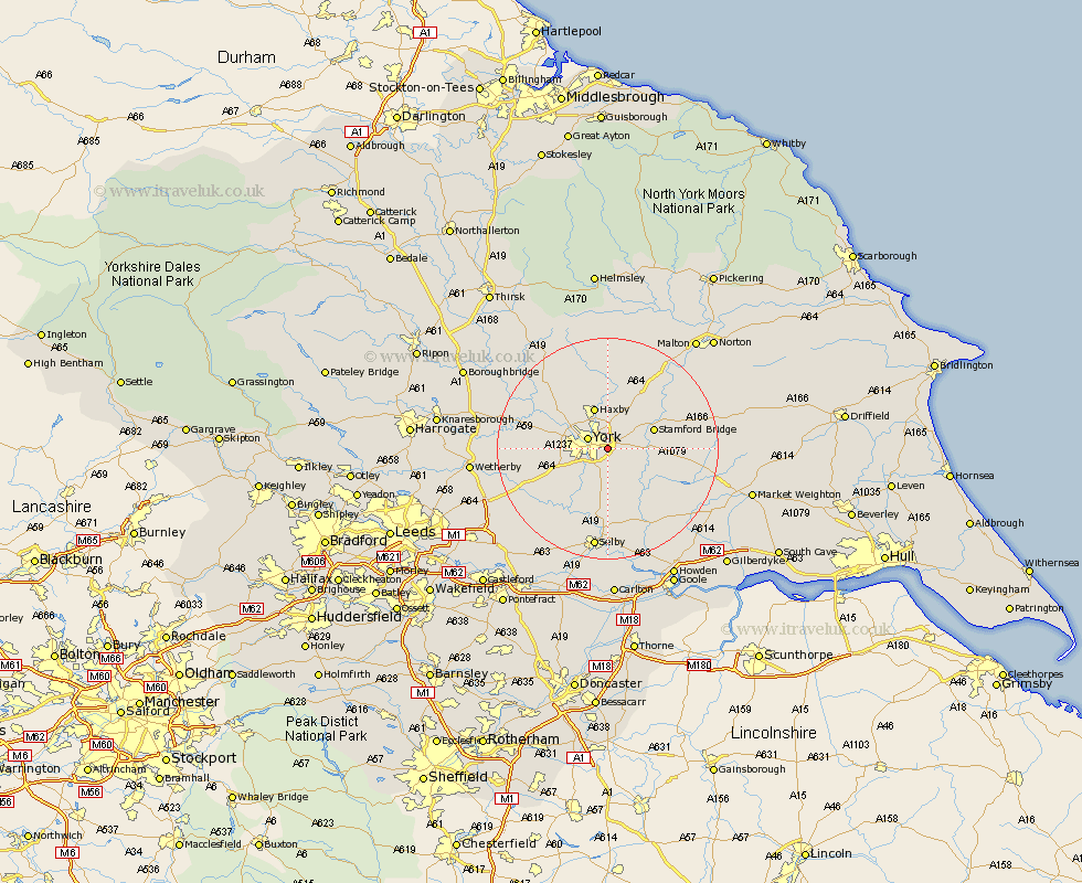
Yorkshire Map Showing Location of Heslington
Population: 4122
Easting: 463433 Northing: 450887
Latitude: 53.95 Longitude: -1.03
 = Heslington
Easting: 463433 Northing: 450887
Latitude: 53.95 Longitude: -1.03
= Heslington
This Heslington map below is supplied by Google. Use the tools in the top left corner to zoom into street level or zoom out for a road map, you may also need to zoom in to see Heslington on the map. Click and drag the map to move around. If the map fails to load try and refresh your browser or zoom in or out (+ or -).
Update - it seems Google no longer allow people to use their maps for free! This Heslington map sometimes loads and sometimes gives a error. I am working on a solution.
Closest 30 Towns or Cities to Heslington (Population over 500)
York 3.76km New Earswick 4.3km Clifton 4.74km Bishopthorpe 4.74km Bishopthorne 4.74km Earswick 5.67km Huntington 5.67km Acaster Malbis 7.07km Escrick 7.5km Copmanthorpe 7.52km Haxby 7.73km Wigginton 7.73km Poppleton 7.86km Upper Poppleton 7.86km Stamford Bridge 8.48km Sutton upon Derwent 8.49km Sutton 8.49km Skelton 8.58km Wheldrake 8.61km Wilberfoss 9.82km Rufforth 10.91km Strensall 11.12km Shipton 12km Riccall 13.02km Long Marston 13.09km Fangfoss 13.22km Cawood 14.08km Melbourne 14.11km Barmby-on-the-Moor 14.3km Barmby 14.3km