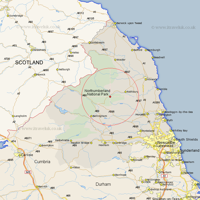
Northumberland Map Showing Location of Hepple
Population: 139
District: Alnwick
Easting: 396824 Northing: 598802
Latitude: 55.28 Longitude: -2.05
 = Hepple
District: Alnwick
Easting: 396824 Northing: 598802
Latitude: 55.28 Longitude: -2.05
= Hepple
This Hepple map below is supplied by Google. Use the tools in the top left corner to zoom into street level or zoom out for a road map, you may also need to zoom in to see Hepple on the map. Click and drag the map to move around. If the map fails to load try and refresh your browser or zoom in or out (+ or -).
Update - it seems Google no longer allow people to use their maps for free! This Hepple map sometimes loads and sometimes gives a error. I am working on a solution.
Closest 30 Towns or Cities to Hepple (Population over 500)
Rothbury 10.2km Otterburn 10.47km Longframlington 16.89km Longhorsley 18.79km Bellingham 18.84km Swarland 20.14km Felton 22.16km Thirston 23.22km East Thirston 23.22km Shilbottle 24.98km Alnwick 25.66km Almwick 25.66km Hebron 25.77km Wark 26.31km Morpeth 26.62km Chollerton 27.98km Challerton 27.98km Wooler 27.98km Humshaugh 28.3km Warkworth 28.4km Hepscott 29.39km Pegswood 29.43km East Chevington 29.55km Lesbury 29.58km Lisburg 29.58km Amble 30.05km Stamfordham 30.14km Alnmouth 31.27km Ellington 31.52km Stannington 31.74km