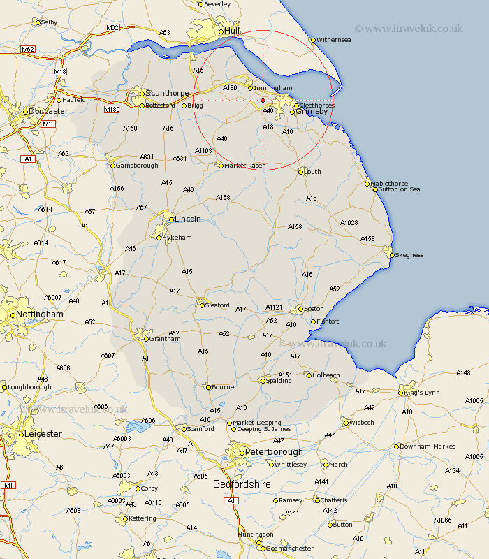
Lincolnshire Map Showing Location of Healing
Population: 1906
Area Size (ha): 82
Easting: 521400 Northing: 409377
Latitude: 53.57 Longitude: -0.17
 = Healing
Area Size (ha): 82
Easting: 521400 Northing: 409377
Latitude: 53.57 Longitude: -0.17
= Healing
This Healing map below is supplied by Google. Use the tools in the top left corner to zoom into street level or zoom out for a road map, you may also need to zoom in to see Healing on the map. Click and drag the map to move around. If the map fails to load try and refresh your browser or zoom in or out (+ or -).
Update - it seems Google no longer allow people to use their maps for free! This Healing map sometimes loads and sometimes gives a error. I am working on a solution.
Closest 30 Towns or Cities to Healing (Population over 500)
Stallingborough 2.15km Laceby 3.71km South Killingholme 4.4km Immingham 4.96km Keelby 5.5km Great Coates 5.5km Habrough 6.63km Waltham 7.09km Great Grimsby 8.56km Grimsby 8.56km Holton le Clay 8.64km Cleethorpes 9km Humberston 9.56km Humberstone 9.56km Ulceby 12.32km East Halton 13.52km North Thoresby 13.53km Nettleton 13.58km Caistor 13.58km Tetney 13.58km binbrook 14.87km Barnetby le Wold 15.41km Barnetby 15.41km Goxhill 15.64km Fulstow 16.33km North Coates 17.28km North Kelsey 18.95km Barrow-on-Humber 19.29km Barrow-upon-Humber 19.29km Barrow upon Humber 19.29km