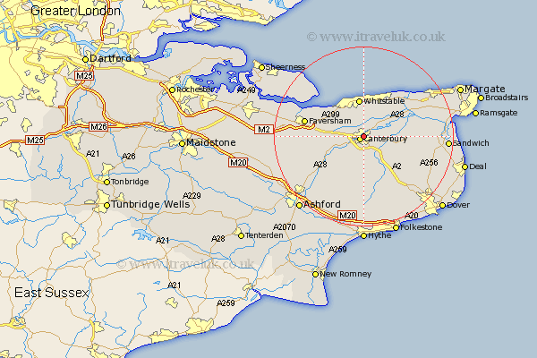
Kent Map Showing Location of Hackington
Population: 522
District: Canterbury
Easting: 614992 Northing: 158367
Latitude: 51.28 Longitude: 1.08
 = Hackington
District: Canterbury
Easting: 614992 Northing: 158367
Latitude: 51.28 Longitude: 1.08
= Hackington
This Hackington map below is supplied by Google. Use the tools in the top left corner to zoom into street level or zoom out for a road map, you may also need to zoom in to see Hackington on the map. Click and drag the map to move around. If the map fails to load try and refresh your browser or zoom in or out (+ or -).
Update - it seems Google no longer allow people to use their maps for free! This Hackington map sometimes loads and sometimes gives a error. I am working on a solution.
Closest 30 Towns or Cities to Hackington (Population over 500)
Hackington 0km Canterbury 1.01km Sturry 2.32km Blean 2.97km Harbledown 3.48km Lower Hardres 5.68km Chartham 5.93km Bridge 6.02km Littlebourne 6.08km Dunkirk 6.95km Chestfield 7.51km Petham 7.76km Hoath 8.03km Whitstable 8.43km Broomfield 8.88km Wingham 9.46km Chislet 9.83km Chilham 9.84km Herne Bay 9.9km Preston 10.59km Stelling 11.18km Selling 11.74km Staple 12.17km Faversham 13.28km Saint Nicholas at Wade 13.75km St. Nicholas at Wade 13.75km St Nicholas at Wade 13.75km Oare 14.39km Monkton 14.97km Elham 15km