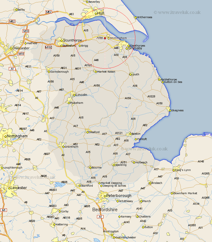
Lincolnshire Map Showing Location of Habrough
Population: 648
Easting: 515792 Northing: 412942
Latitude: 53.6 Longitude: -0.25
 = Habrough
Easting: 515792 Northing: 412942
Latitude: 53.6 Longitude: -0.25
= Habrough
This Habrough map below is supplied by Google. Use the tools in the top left corner to zoom into street level or zoom out for a road map, you may also need to zoom in to see Habrough on the map. Click and drag the map to move around. If the map fails to load try and refresh your browser or zoom in or out (+ or -).
Update - it seems Google no longer allow people to use their maps for free! This Habrough map sometimes loads and sometimes gives a error. I am working on a solution.
Closest 30 Towns or Cities to Habrough (Population over 500)
Immingham 2.2km Keelby 3.7km South Killingholme 3.86km Stallingborough 4.78km Ulceby 5.8km Healing 6.63km East Halton 7.74km Goxhill 9.23km Laceby 9.24km Barnetby le Wold 10.57km Barnetby 10.57km Great Coates 11.61km Barrow on Humber 12.77km Barrow upon Humber 12.77km Barrow 12.77km Barrow-on-Humber 12.77km Barrow-upon-Humber 12.77km New Holland 13.52km Waltham 13.56km Nettleton 13.7km Caistor 13.7km Wrawby 14.77km Great Grimsby 15.15km Grimsby 15.15km Holton le Clay 15.24km Cleethorpes 15.35km Humberstone 16.12km Humberston 16.12km Brigg 16.38km North Kelsey 17.02km