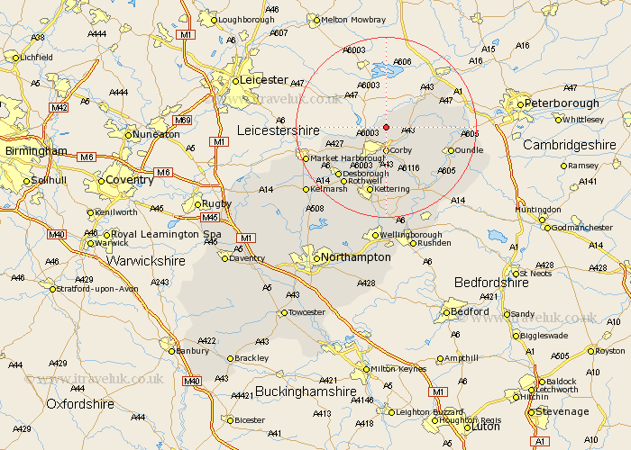
Northamptonshire Map Showing Location of Gretton
Population: 1240
District: Corby
Easting: 490431 Northing: 293701
Latitude: 52.53 Longitude: -0.67
 = Gretton
District: Corby
Easting: 490431 Northing: 293701
Latitude: 52.53 Longitude: -0.67
= Gretton
This Gretton map below is supplied by Google. Use the tools in the top left corner to zoom into street level or zoom out for a road map, you may also need to zoom in to see Gretton on the map. Click and drag the map to move around. If the map fails to load try and refresh your browser or zoom in or out (+ or -).
Update - it seems Google no longer allow people to use their maps for free! This Gretton map sometimes loads and sometimes gives a error. I am working on a solution.
Closest 30 Towns or Cities to Gretton (Population over 500)
Caldecott 3.85km Corby 5.56km Weldon 6km Stanion 7.49km Cottingham 7.92km Brigstock 10.3km Wilbarston 10.6km Geddington 11.18km King's Cliffe 11.87km Kings Cliffe 11.87km Oundle 14.63km Desborough 15.06km Kettering 15.2km Rowell 15.8km Rothwell 15.8km Nassington 17.01km Thrapston 17.36km Warmington 18.42km Islip 18.97km Titchmarsh 19.34km Broughton 19.73km Woodford 19.73km Burton Latimer 20.38km Isham 20.51km Ringstead 21.86km Finedon 22.35km Clipston 23.16km Raunds 24.01km Walgrave 24.45km Irthlingborough 24.51km