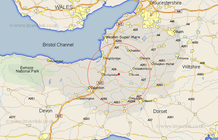
Somerset Map Showing Location of Greinton
Population: 79
District: Sedgemoor
Easting: 340511 Northing: 135670
Latitude: 51.12 Longitude: -2.85
 = Greinton
District: Sedgemoor
Easting: 340511 Northing: 135670
Latitude: 51.12 Longitude: -2.85
= Greinton
This Greinton map below is supplied by Google. Use the tools in the top left corner to zoom into street level or zoom out for a road map, you may also need to zoom in to see Greinton on the map. Click and drag the map to move around. If the map fails to load try and refresh your browser or zoom in or out (+ or -).
Update - it seems Google no longer allow people to use their maps for free! This Greinton map sometimes loads and sometimes gives a error. I am working on a solution.
Closest 30 Towns or Cities to Greinton (Population over 500)
Shapwick 2.18km Ashcott 3.95km Middlezoy 3.95km Othery 4.38km Weston Zoyland 5.82km Walton 5.82km Cossington 5.95km High Ham 6.03km Street 6.98km Meare 7.25km Langport 9.35km Compton 9.49km Puriton 9.86km Glastonbury 10.15km Somerton 10.19km Bridgwater 10.47km Bridgewater 10.47km Stoke St Gregory 10.95km Stoke Saint Gregory 10.95km Stoke St. Gregory 10.95km Wedmore 11.36km Curry Rivel 11.36km Mark 11.65km Butleigh 11.78km North Petherton 11.78km Long Sutton 12.55km Pawlett 12.82km Huntspill 13.12km Fivehead 13.79km North Curry 13.79km