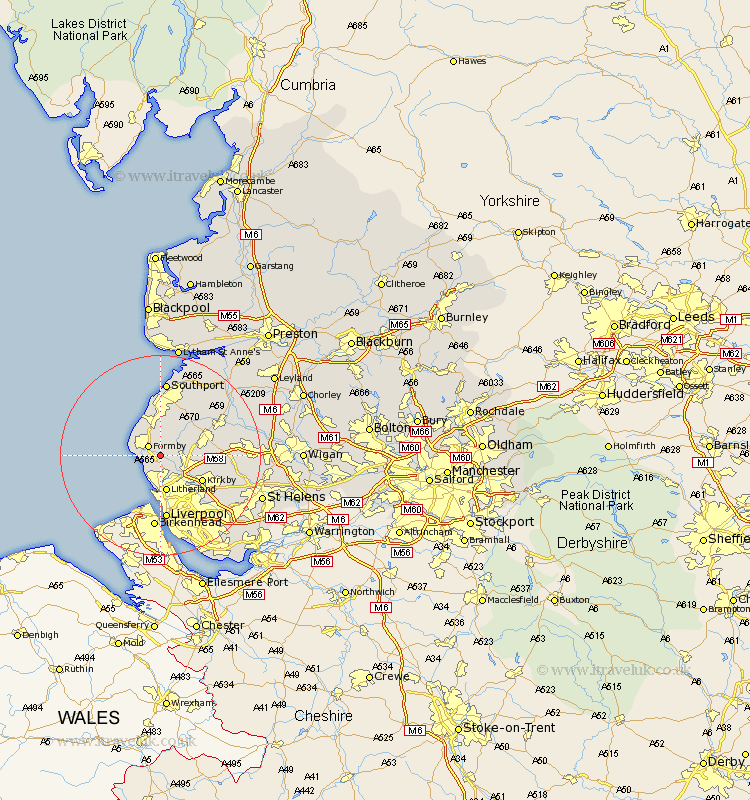
Lancashire Map Showing Location of Great Altcar
Population: 243
District: West Lancashire
Easting: 332622 Northing: 404579
Latitude: 53.53 Longitude: -3.02
 = Great Altcar
District: West Lancashire
Easting: 332622 Northing: 404579
Latitude: 53.53 Longitude: -3.02
= Great Altcar
This Great Altcar map below is supplied by Google. Use the tools in the top left corner to zoom into street level or zoom out for a road map, you may also need to zoom in to see Great Altcar on the map. Click and drag the map to move around. If the map fails to load try and refresh your browser or zoom in or out (+ or -).
Update - it seems Google no longer allow people to use their maps for free! This Great Altcar map sometimes loads and sometimes gives a error. I am working on a solution.
Closest 30 Towns or Cities to Great Altcar (Population over 500)
Ince Blundell 1.85km Hightown 2.87km Formby 2.88km Lydiate 3.79km Thornton 3.86km Maghull 4.78km Sefton 4.96km Crosby 6.27km Aughton 6.61km Halsall 7.09km Bootle 7.41km Litherland 7.49km Ormskirk 8.56km Melling 8.64km Aintree 9.23km Scarisbrick 9.24km Kirkby 9.51km Bickerstaffe 12.26km Liverpool 13.01km Burscough 13.33km Lathom 13.72km Skelmersdale 14.32km Knowsley 14.4km Rainford 14.44km Southport 14.87km Rufford 15.25km Parbold 17.42km Banks 17.94km Eccleston 18km Huyton with Roby 18.48km