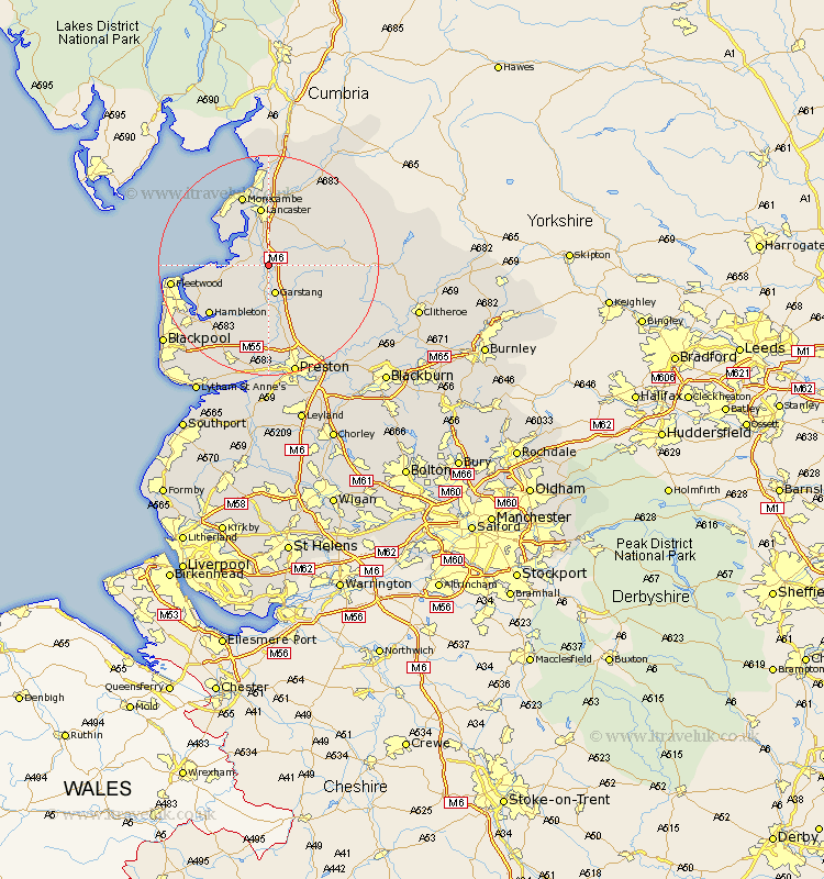
Lancashire Map Showing Location of Forton
Population: 1253
District: Wyre
Easting: 348597 Northing: 450739
Latitude: 53.95 Longitude: -2.78
 = Forton
District: Wyre
Easting: 348597 Northing: 450739
Latitude: 53.95 Longitude: -2.78
= Forton
This Forton map below is supplied by Google. Use the tools in the top left corner to zoom into street level or zoom out for a road map, you may also need to zoom in to see Forton on the map. Click and drag the map to move around. If the map fails to load try and refresh your browser or zoom in or out (+ or -).
Update - it seems Google no longer allow people to use their maps for free! This Forton map sometimes loads and sometimes gives a error. I am working on a solution.
Closest 30 Towns or Cities to Forton (Population over 500)
Cockerham 2.18km Garstang 5.67km Overton 7.07km Middleton 8.58km Pilling 8.92km Catterall 9.33km Claughton-on-Brock 10.24km Claughton 10.24km Claughton on Brock 10.24km Lancaster 10.83km Great Eccleston 12.39km Eccleston 12.39km Preesall 12.56km Inskip 13.38km Hambleton 13.51km Caton 13.69km Morecambe 13.69km Morecombe 13.69km Elswick 14.54km Bolton le Sands 14.83km Chipping 15.05km Broughton 15.18km Barton 15.18km Great Singleton 16.28km Singleton 16.28km Fleetwood 16.57km Goosnargh 16.68km Nether Kellet 16.82km Woodplumpton 16.82km Thornton 17.87km