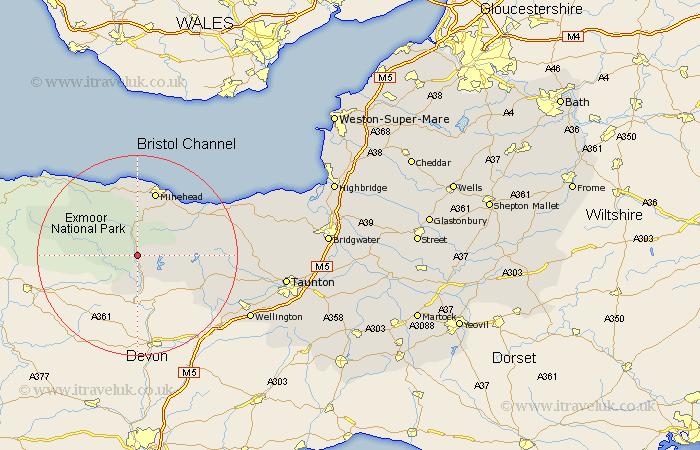
Somerset Map Showing Location of Exton
Population: 220
District: West Somerset
Easting: 292612 Northing: 132730
Latitude: 51.08 Longitude: -3.53
 = Exton
District: West Somerset
Easting: 292612 Northing: 132730
Latitude: 51.08 Longitude: -3.53
= Exton
This Exton map below is supplied by Google. Use the tools in the top left corner to zoom into street level or zoom out for a road map, you may also need to zoom in to see Exton on the map. Click and drag the map to move around. If the map fails to load try and refresh your browser or zoom in or out (+ or -).
Update - it seems Google no longer allow people to use their maps for free! This Exton map sometimes loads and sometimes gives a error. I am working on a solution.
Closest 30 Towns or Cities to Exton (Population over 500)
Dulverton 5.68km Brushford 7.41km Williton 12.9km Minehead 13.44km Dunster 13.44km Carhampton 13.78km Porlock 15.97km Wiveliscombe 16.13km Watchet 16.76km Stogumber 17.21km Milverton 21.14km Oake 24.45km Bishops Lydeard 24.52km Wellington 25.67km Nether Stowey 26.65km Norton Fitzwarren 27.36km West Buckland 27.7km Kingston 29.17km Spaxton 29.33km Taunton 29.65km Stokscourey 30.04km Stogursey 30.04km Stoke Courcy 30.04km Trull 30.57km Pitminster 31.9km Otterhampton 33.31km Durleigh 33.95km West Monkton 33.98km North Petherton 36.13km Creech Saint Michael 36.87km