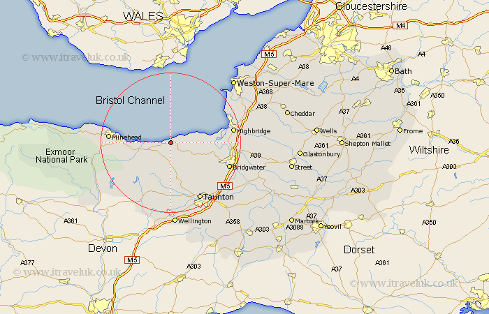
Somerset Map Showing Location of East Quantoxhead
Population: 111
District: West Somerset
Easting: 313808 Northing: 143455
Latitude: 51.18 Longitude: -3.23
 = East Quantoxhead
District: West Somerset
Easting: 313808 Northing: 143455
Latitude: 51.18 Longitude: -3.23
= East Quantoxhead
This East Quantoxhead map below is supplied by Google. Use the tools in the top left corner to zoom into street level or zoom out for a road map, you may also need to zoom in to see East Quantoxhead on the map. Click and drag the map to move around. If the map fails to load try and refresh your browser or zoom in or out (+ or -).
Update - it seems Google no longer allow people to use their maps for free! This East Quantoxhead map sometimes loads and sometimes gives a error. I am working on a solution.
Closest 30 Towns or Cities to East Quantoxhead (Population over 500)
Nether Stowey 5.94km Stokscourey 6.97km Stogursey 6.97km Stoke Courcy 6.97km Watchet 7.21km Stogumber 7.25km Otterhampton 10.46km Williton 10.83km Spaxton 11km Carhampton 12.78km Bishops Lydeard 13.43km Durleigh 14.78km Kingston 15.31km Pawlett 16.26km Burnham on Sea 17.18km Burnham 17.18km Burnham-on-Sea 17.18km Minehead 17.52km Huntspill 17.52km Wiveliscombe 17.67km Norton Fitzwarren 17.67km Berrow 17.71km North Petherton 17.73km Highbridge 17.81km Bridgewater 17.88km Bridgwater 17.88km Taunton 18.56km Milverton 18.56km Oake 18.67km Puriton 18.68km