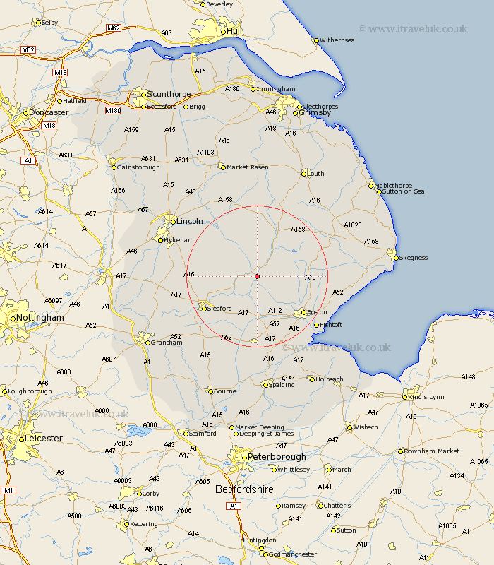
Lincolnshire Map Showing Location of Dogdyke
Population: 362
District: North Kesteven
Easting: 520548 Northing: 355556
Latitude: 53.08 Longitude: -0.2
 = Dogdyke
District: North Kesteven
Easting: 520548 Northing: 355556
Latitude: 53.08 Longitude: -0.2
= Dogdyke
This Dogdyke map below is supplied by Google. Use the tools in the top left corner to zoom into street level or zoom out for a road map, you may also need to zoom in to see Dogdyke on the map. Click and drag the map to move around. If the map fails to load try and refresh your browser or zoom in or out (+ or -).
Update - it seems Google no longer allow people to use their maps for free! This Dogdyke map sometimes loads and sometimes gives a error. I am working on a solution.
Closest 30 Towns or Cities to Dogdyke (Population over 500)
Tattershall 1.86km Coningsby 4.33km Billinghay 5.57km Woodhall Spa 7.5km Martin 9.65km Carrington 10.02km Digby 11.13km Frithville 12.45km Brothertoft 12.98km Buskington 13.45km Ruskington 13.45km Scopwick 13.48km Heckington 14.11km Banovallum 14.12km Horncastle 14.12km Mareham 14.24km Mareham on the Hill 14.24km Mareham-on-the-Hill 14.24km Metheringham 14.46km Bloxholme 14.47km Bloxholm 14.47km Stickney 14.47km Dunston 15.27km Sibsey 15.51km Hale 15.84km Great Hale 15.84km Brauncewell 16.02km Leasingham 16.27km Heasingham 16.27km Boston 16.55km