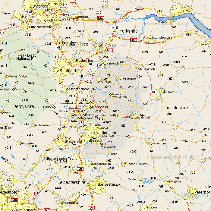
Nottinghamshire Map Showing Location of Gamston
Population: 272
District: Bassetlaw
Easting: 472245 Northing: 374986
Latitude: 53.27 Longitude: -0.92
 = Gamston
District: Bassetlaw
Easting: 472245 Northing: 374986
Latitude: 53.27 Longitude: -0.92
= Gamston
This Gamston map below is supplied by Google. Use the tools in the top left corner to zoom into street level or zoom out for a road map, you may also need to zoom in to see Gamston on the map. Click and drag the map to move around. If the map fails to load try and refresh your browser or zoom in or out (+ or -).
Update - it seems Google no longer allow people to use their maps for free! This Gamston map sometimes loads and sometimes gives a error. I am working on a solution.
Closest 30 Towns or Cities to Gamston (Population over 500)
East Markham 2.89km Markham 2.89km Elksley 3.32km Elkesley 3.32km Grove 3.87km East Retford 5.67km Walesby 5.78km Tuxford 5.98km Rampton 8.6km Bampton 8.6km North Leverton 8.67km Ollerton 8.67km Boughton 9km Hayton 9.33km Clarborough 9.33km Sutton 10.27km Ranskill 12.96km Ramskill 12.96km Edwinstowe 13.62km Gringley on the Hill 14.87km Gringley-on-the-Hill 14.87km Gringley 14.87km Worksop 14.87km Blyth 14.93km Everton 14.99km Mattersey 15.19km Beckingham 15.82km Clipstone 16.51km Bilsthorpe 16.74km Collingham 17.07km