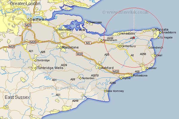
Kent Map Showing Location of Chislet
Population: 868
District: Canterbury
Easting: 622883 Northing: 164274
Latitude: 51.33 Longitude: 1.2
 = Chislet
District: Canterbury
Easting: 622883 Northing: 164274
Latitude: 51.33 Longitude: 1.2
= Chislet
This Chislet map below is supplied by Google. Use the tools in the top left corner to zoom into street level or zoom out for a road map, you may also need to zoom in to see Chislet on the map. Click and drag the map to move around. If the map fails to load try and refresh your browser or zoom in or out (+ or -).
Update - it seems Google no longer allow people to use their maps for free! This Chislet map sometimes loads and sometimes gives a error. I am working on a solution.
Closest 30 Towns or Cities to Chislet (Population over 500)
Hoath 2.32km St Nicholas at Wade 3.94km St. Nicholas at Wade 3.94km Saint Nicholas at Wade 3.94km Broomfield 4.01km Preston 4.37km Monkton 5.79km Herne Bay 5.94km Wingham 7.5km Littlebourne 7.76km Birchington 7.88km Sturry 8.03km Minster 8.31km Chestfield 9.45km Whitstable 9.46km Hackington 9.83km Staple 9.89km Canterbury 10.82km Blean 11.06km Manston 11.73km Bridge 12.54km Sandwich 12.79km Harbledown 12.85km Eastry 13.12km Worth 13.95km Margate 14.1km Lower Hardres 14.48km Saint Peter's 15.5km St Peter Extra 15.5km Saint Peters 15.5km