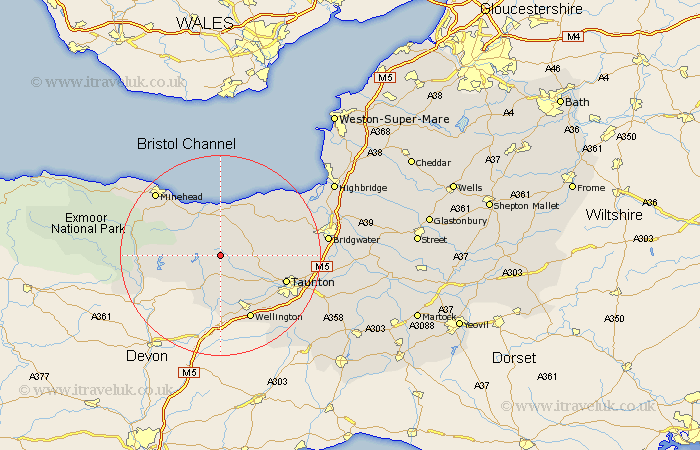
Somerset Map Showing Location of Brompton Ralph
Population: 218
District: West Somerset
Easting: 308953 Northing: 132416
Latitude: 51.08 Longitude: -3.3
 = Brompton Ralph
District: West Somerset
Easting: 308953 Northing: 132416
Latitude: 51.08 Longitude: -3.3
= Brompton Ralph
This Brompton Ralph map below is supplied by Google. Use the tools in the top left corner to zoom into street level or zoom out for a road map, you may also need to zoom in to see Brompton Ralph on the map. Click and drag the map to move around. If the map fails to load try and refresh your browser or zoom in or out (+ or -).
Update - it seems Google no longer allow people to use their maps for free! This Brompton Ralph map sometimes loads and sometimes gives a error. I am working on a solution.
Closest 30 Towns or Cities to Brompton Ralph (Population over 500)
Stogumber 5.56km Wiveliscombe 5.68km Williton 7.25km Milverton 8.19km Bishops Lydeard 8.36km Watchet 9.56km Oake 10.18km Norton Fitzwarren 11.87km Nether Stowey 11.9km Kingston 12.94km Spaxton 13.33km Carhampton 13.78km Taunton 13.97km Wellington 14.22km West Buckland 15.32km Trull 15.81km Stogursey 16.09km Stoke Courcy 16.09km Stokscourey 16.09km Durleigh 17.85km West Monkton 17.86km Brushford 17.91km Minehead 18.22km Pitminster 18.24km Dulverton 18.34km Otterhampton 18.77km North Petherton 19.87km Creech Saint Michael 21.14km Creech St. Michael 21.14km Creech St Michael 21.14km