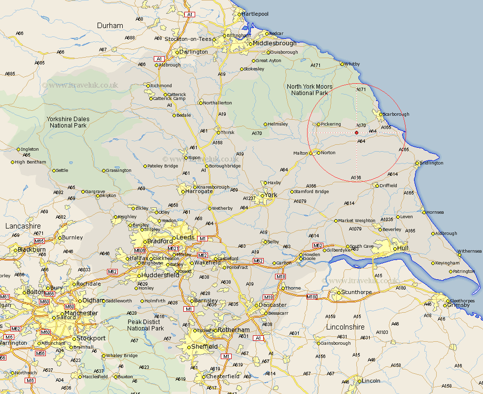
Yorkshire Map Showing Location of Brompton
Population: 516
District: Scarborough
Easting: 494540 Northing: 481096
Latitude: 54.22 Longitude: -0.55
 = Brompton
District: Scarborough
Easting: 494540 Northing: 481096
Latitude: 54.22 Longitude: -0.55
= Brompton
This Brompton map below is supplied by Google. Use the tools in the top left corner to zoom into street level or zoom out for a road map, you may also need to zoom in to see Brompton on the map. Click and drag the map to move around. If the map fails to load try and refresh your browser or zoom in or out (+ or -).
Update - it seems Google no longer allow people to use their maps for free! This Brompton map sometimes loads and sometimes gives a error. I am working on a solution.
Closest 30 Towns or Cities to Brompton (Population over 500)
Snainton 2.17km Yedingham 4.72km Sherburn 5.97km Willerby 7.49km Seamer 7.81km Eastfield 9.92km Scalby 10.6km Thornton-le-Dale 10.99km Thornton Dale 10.99km Scarborough 11.8km Cayton 12.06km Rillington 12.26km Burniston 13.46km Pickering 14.56km Cloughton 15.02km Great Driffield 15.04km Hunmanby 16.17km Norton 16.67km Filey 16.98km Malton 19.3km Kilham 22.05km Fylingdales 22.27km Wetwang 24.12km Driffield 24.56km Nafferton 24.75km Slingsby 24.99km Kirby Moorside 25.52km Kirkby Moorside 25.52km Hawsker 25.96km Bridlington 26.06km