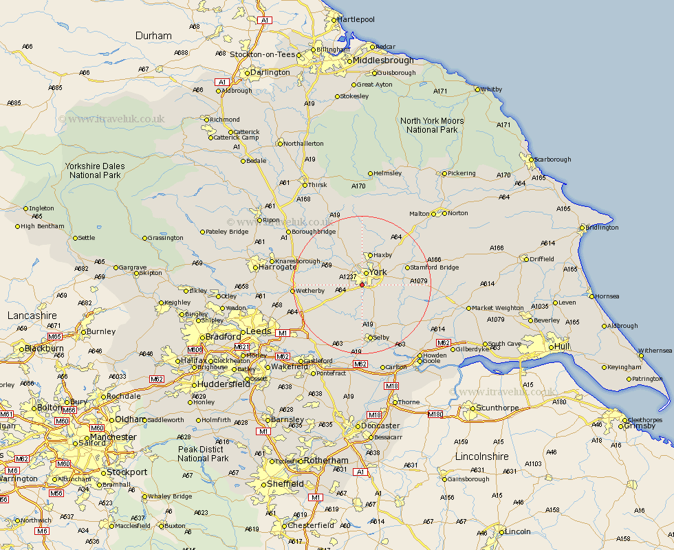
Yorkshire Map Showing Location of Bishopthorpe
Population: 3085
Area Size (ha): 76
Easting: 459082 Northing: 448972
Latitude: 53.93 Longitude: -1.1
 = Bishopthorpe
Area Size (ha): 76
Easting: 459082 Northing: 448972
Latitude: 53.93 Longitude: -1.1
= Bishopthorpe
This Bishopthorpe map below is supplied by Google. Use the tools in the top left corner to zoom into street level or zoom out for a road map, you may also need to zoom in to see Bishopthorpe on the map. Click and drag the map to move around. If the map fails to load try and refresh your browser or zoom in or out (+ or -).
Update - it seems Google no longer allow people to use their maps for free! This Bishopthorpe map sometimes loads and sometimes gives a error. I am working on a solution.
Closest 30 Towns or Cities to Bishopthorpe (Population over 500)
Copmanthorpe 2.86km Acaster Malbis 3.7km Clifton 3.71km York 3.87km Heslington 4.74km Poppleton 4.95km Upper Poppleton 4.95km New Earswick 5.97km Escrick 6.45km Rufforth 6.8km Skelton 7.73km Huntington 8.11km Earswick 8.11km Long Marston 8.92km Haxby 9.53km Wigginton 9.53km Wheldrake 10.35km Cawood 11.17km Shipton 11.59km Riccall 11.59km Ulleskelf 12.01km Sutton 12.14km Sutton upon Derwent 12.14km Tadcaster 12.25km Wistow 12.97km Stamford Bridge 13.22km Newton upon Ouse 13.49km Newton 13.49km Strensall 13.69km Kirk Hammerton 14.22km