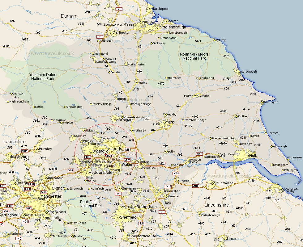
Yorkshire Map Showing Location of Gildersome
District: Leeds
Easting: 425264 Northing: 430131
Latitude: 53.77 Longitude: -1.62
 = Gildersome
Easting: 425264 Northing: 430131
Latitude: 53.77 Longitude: -1.62
= Gildersome
This Gildersome map below is supplied by Google. Use the tools in the top left corner to zoom into street level or zoom out for a road map, you may also need to zoom in to see Gildersome on the map. Click and drag the map to move around. If the map fails to load try and refresh your browser or zoom in or out (+ or -).
Update - it seems Google no longer allow people to use their maps for free! This Gildersome map sometimes loads and sometimes gives a error. I am working on a solution.
Closest 30 Towns or Cities to Gildersome (Population over 500)
Pudsey 3.77km Leeds 4.3km Morley 4.31km Drewsbury 7.42km Dewsbury 7.42km Horsforth 7.49km Heckmondwike 8.11km Batley 8.13km Lofthouse 8.52km Cleckheaton 8.61km Bradford 8.95km Rothwell 8.96km Liversedge 9.22km Wakefield 11.49km Stanley 11.49km Yeadon 11.59km Ossett 11.6km Mirfield 11.95km Horbury 11.95km Shipley 12.32km Guiseley 12.91km Bramhope 12.97km Middlestown 13.02km Middletown 13.02km Swillington 13.15km Brighouse 13.23km Baildon 13.52km Scholes 14.27km Poole 14.82km Pool-in-Wharfedale 14.82km