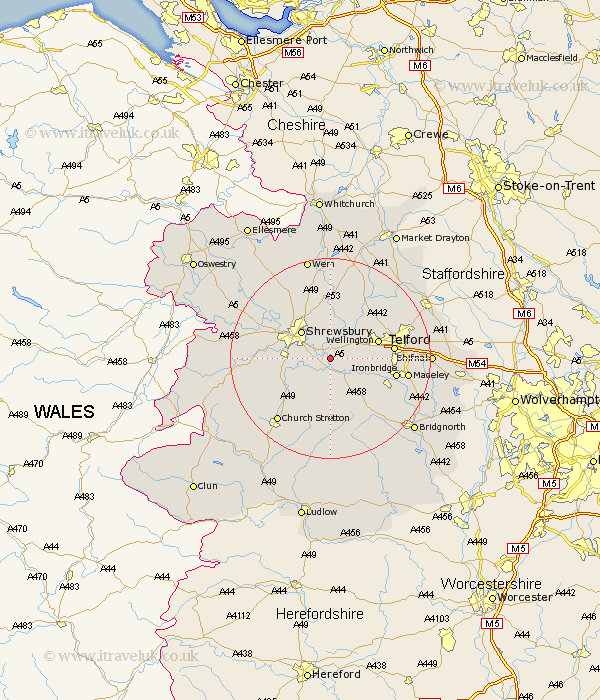
Shropshire Map Showing Location of Wroxeter
Population: 348
District: Shrewsbury and Atcham
Easting: 356047 Northing: 307901
Latitude: 52.67 Longitude: -2.65
 = Wroxeter
District: Shrewsbury and Atcham
Easting: 356047 Northing: 307901
Latitude: 52.67 Longitude: -2.65
= Wroxeter
This Wroxeter map below is supplied by Google. Use the tools in the top left corner to zoom into street level or zoom out for a road map, you may also need to zoom in to see Wroxeter on the map. Click and drag the map to move around. If the map fails to load try and refresh your browser or zoom in or out (+ or -).
Update - it seems Google no longer allow people to use their maps for free! This Wroxeter map sometimes loads and sometimes gives a error. I am working on a solution.
Closest 30 Towns or Cities to Wroxeter (Population over 500)
Berrington 3.85km Cressage 4.34km Wrockwardine 6.73km Baystonhill 6.74km Condover 7km Rodington 7.74km Shrewsbury 7.9km Wellington 9.72km Ercall Magna 9.86km High Ercall 9.86km Much Wenlock 10.03km Hanwood 11.39km Great Hanwood 11.39km Ketley 11.83km Hadley 11.83km Hadnall 11.99km Telford 12.1km Dawley 12.36km Broseley 12.54km Ironbridge 12.91km Shawbury 12.97km Bicton 13.45km Trench 13.55km Barrow 14.42km Barrow Bridge 14.42km Ford 14.58km Cherrington 15.02km Oakengates 15.07km Madeley 15.08km Downington 15.63km