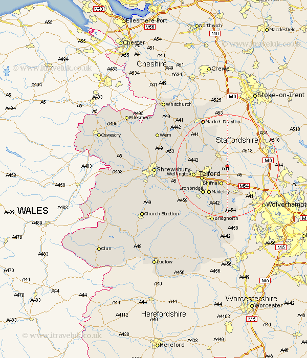
Shropshire Map Showing Location of Woodcote
Population: 2786
Area Size (ha): 8
Easting: 377494 Northing: 315163
Latitude: 52.73 Longitude: -2.33
 = Woodcote
Area Size (ha): 8
Easting: 377494 Northing: 315163
Latitude: 52.73 Longitude: -2.33
= Woodcote
This Woodcote map below is supplied by Google. Use the tools in the top left corner to zoom into street level or zoom out for a road map, you may also need to zoom in to see Woodcote on the map. Click and drag the map to move around. If the map fails to load try and refresh your browser or zoom in or out (+ or -).
Update - it seems Google no longer allow people to use their maps for free! This Woodcote map sometimes loads and sometimes gives a error. I am working on a solution.
Closest 30 Towns or Cities to Woodcote (Population over 500)
Lilleshall 4.49km Newport 6.5km Edgmond 6.73km Donnington 6.98km Downington 6.98km Chetwynd 7.14km Oakengates 7.69km Shifnal 7.74km Trench 9.17km Ketley 10.76km Hadley 10.76km Telford 10.78km Dawley 11.64km Cherrington 11.82km Albrighton 11.99km Wellington 12.89km Madeley 13km Hinstock 13.61km Ironbridge 14.3km Cheswardine 15.86km Wrockwardine 16.15km Broseley 16.44km Barrow 17.34km Barrow Bridge 17.34km High Ercall 18.05km Ercall Magna 18.05km Broughton 18.57km Stoke 18.69km Stoke upon Tern 18.69km Rodington 19.08km