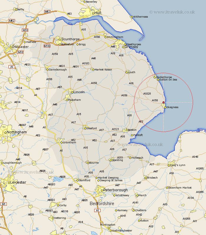
Lincolnshire Map Showing Location of Winthorpe
District: East Lindsey
Easting: 555959 Northing: 365861
Latitude: 53.17 Longitude: 0.33
 = Winthorpe
Easting: 555959 Northing: 365861
Latitude: 53.17 Longitude: 0.33
= Winthorpe
This Winthorpe map below is supplied by Google. Use the tools in the top left corner to zoom into street level or zoom out for a road map, you may also need to zoom in to see Winthorpe on the map. Click and drag the map to move around. If the map fails to load try and refresh your browser or zoom in or out (+ or -).
Update - it seems Google no longer allow people to use their maps for free! This Winthorpe map sometimes loads and sometimes gives a error. I am working on a solution.
Closest 30 Towns or Cities to Winthorpe (Population over 500)
Ingoldmells 1.85km Skegness 3.88km Chapel St. Leonards 5.67km Chapel St Leonards 5.67km Chapel Saint Leonards 5.67km Burgh le Marsh 5.86km Croft 6.68km Wainfleet 9.27km Wainfleet All Saints 9.27km Huttoft 10.27km Willoughby 10.48km Alford 13.62km Friskney 14.96km Spilsby 15.66km Sutton-on-Sea 17.01km Sutton on Sea 17.01km Mablethorpe 19.34km Wrangle 20.72km Old Leake 22.82km Leake 22.82km Stickney 23.08km Leverton 24.95km Sibsey 25.83km Bennington 26.36km Benington 26.36km Legbourne 26.43km Mareham 26.72km Mareham on the Hill 26.72km Mareham-on-the-Hill 26.72km Butterwick 27.08km