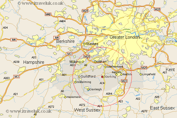
Surrey Map Showing Location of Westcott
Population: 2045
Area Size (ha): 72
District: Mole Valley
Easting: 515225 Northing: 147739
Latitude: 51.22 Longitude: -0.35
 = Westcott
Area Size (ha): 72
District: Mole Valley
Easting: 515225 Northing: 147739
Latitude: 51.22 Longitude: -0.35
= Westcott
This Westcott map below is supplied by Google. Use the tools in the top left corner to zoom into street level or zoom out for a road map, you may also need to zoom in to see Westcott on the map. Click and drag the map to move around. If the map fails to load try and refresh your browser or zoom in or out (+ or -).
Update - it seems Google no longer allow people to use their maps for free! This Westcott map sometimes loads and sometimes gives a error. I am working on a solution.
Closest 30 Towns or Cities to Westcott (Population over 500)
Westcott 0km Dorking 1.16km Wotton 2.97km Mickleham 4.37km Holmwood 4.38km Effingham 5.08km Abinger 5.09km East Horsley 6.88km Horsley 6.88km Betchworth 7.2km Buckland 7.2km Leatherhead 7.76km Leigh 8.34km Shere 8.34km Newdigate 8.75km West Horsley 8.91km Ockley 9.27km Reigate 9.47km Albury 9.47km Capel 9.56km Ewhurst 10.94km Tadworth 10.99km West Clandon 11.08km Oxshott 11.12km Chilworth 11.61km St Martha 11.61km St. Martha 11.61km Saint Martha 11.61km Ripley 11.87km Charlwood 11.89km