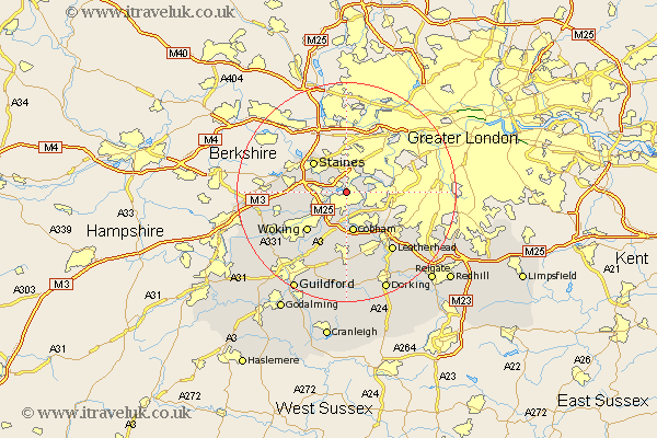
Surrey Map Showing Location of Walton
Population: 50671
Area Size (ha): 2460
District: Elmbridge
Easting: 509010 Northing: 166136
Latitude: 51.38 Longitude: -0.43
 = Walton
Area Size (ha): 2460
District: Elmbridge
Easting: 509010 Northing: 166136
Latitude: 51.38 Longitude: -0.43
= Walton
This Walton map below is supplied by Google. Use the tools in the top left corner to zoom into street level or zoom out for a road map, you may also need to zoom in to see Walton on the map. Click and drag the map to move around. If the map fails to load try and refresh your browser or zoom in or out (+ or -).
Update - it seems Google no longer allow people to use their maps for free! This Walton map sometimes loads and sometimes gives a error. I am working on a solution.
Closest 30 Towns or Cities to Walton (Population over 500)
Shepperton 1.16km Weybridge 2.96km Sunbury 2.97km Lower Sunbury 2.97km Sunbury-on-Thames 2.97km Sunbury on Thames 2.97km Addlestone 3.93km Chertsey 4.63km Esher 5.93km Byfleet 6.02km Molesey 6.07km Claygate 6.87km Church Cobham 7.5km Cobham 7.5km Ottershaw 7.87km Staines 8.02km Oxshott 9.4km Egham 9.97km Woking 10.15km Ripley 11.65km Virginia Water 11.71km Chobham 12.84km West Horsley 13.02km Send 13.11km Leatherhead 13.76km East Horsley 14.82km Horsley 14.82km Bisley 14.96km Effingham 15km Windlesham 15.15km