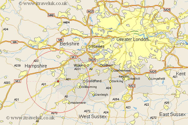
Surrey Map Showing Location of Upper Hale
District: Waverley
Easting: 483801 Northing: 147130
Latitude: 51.22 Longitude: -0.8
 = Upper Hale
Easting: 483801 Northing: 147130
Latitude: 51.22 Longitude: -0.8
= Upper Hale
This Upper Hale map below is supplied by Google. Use the tools in the top left corner to zoom into street level or zoom out for a road map, you may also need to zoom in to see Upper Hale on the map. Click and drag the map to move around. If the map fails to load try and refresh your browser or zoom in or out (+ or -).
Update - it seems Google no longer allow people to use their maps for free! This Upper Hale map sometimes loads and sometimes gives a error. I am working on a solution.
Closest 30 Towns or Cities to Upper Hale (Population over 500)
Farnham 1.86km Tongham 4.64km Seale 6.1km Frensham 7.42km Elstead 8.91km Puttenham 9.47km Normandy 9.99km Frimley 10.36km Deepcut 10.93km Thursley 10.94km Compton 11.76km Milford 12.88km Pirbright 13.76km Hindhead 13.78km Godalming 14.42km Goldaming 14.42km Witley 14.86km Camberly 15.53km Camberley 15.53km Worplesdon 15.77km Guildford 16.25km Guilford 16.25km Shalford 16.36km Haslemere 16.39km Hambledon 16.94km Bisley 17.39km Bramley 17.81km Chiddingfold 18.22km Bagshot 18.55km Wonersh 18.95km